
A place I flew
Westburn Viaduct
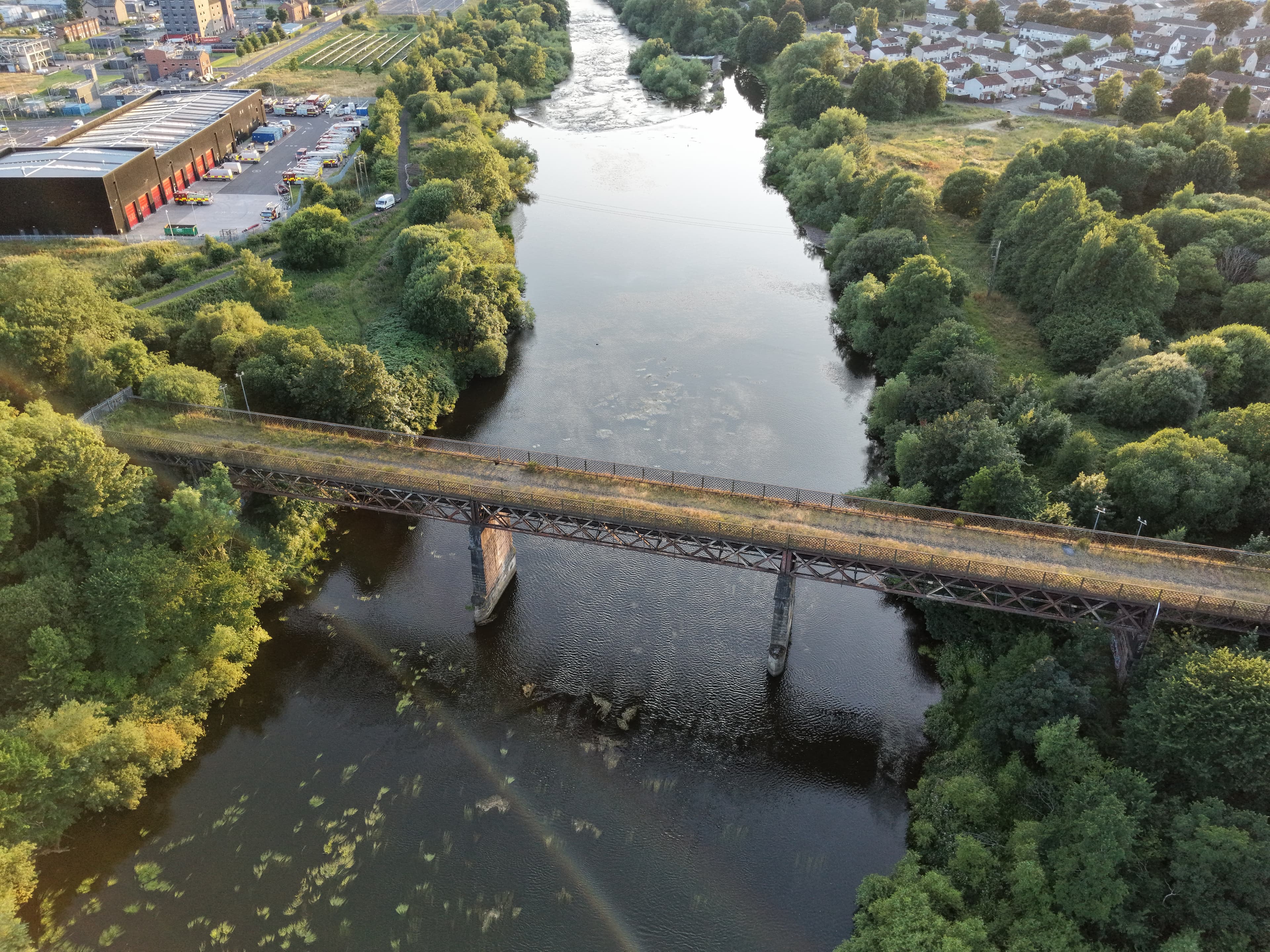
A disused 1897 steel railway viaduct over the River Clyde, linking Carmyle in Glasgow with Westburn near Cambuslang. Its three lattice-girder spans recall the industrial rail network that served the east side of Glasgow, while its later history reflects a difficult divide between the two riverbank communities.
- Latitude
- 55.82822° N
- Longitude
- 4.14780° W
About the location
The place itself
Westburn Viaduct, also known as Carmyle Viaduct, crosses the River Clyde between Carmyle on the north bank and Westburn, a district of Cambuslang, on the south. It stands close to the boundary between Glasgow City and South Lanarkshire, where the river has long been both a physical dividing line and a route through the industrial east side of Glasgow.
The structure is a steel lattice-girder railway bridge on substantial sandstone piers. Three principal steel spans cross the water, with shorter approach spans at either end. Its exposed metal trusses give it a very different appearance from the masonry-arched viaducts often associated with nineteenth-century railways in Scotland.
A railway crossing for an industrial district
The viaduct opened in 1897 as part of the Caledonian Railway’s Glasgow Central Railway route between Carmyle and Newton. It connected with the older Rutherglen and Coatbridge Railway and, from 1904, with a further route towards Kirkhill. The line was built during a period when railways served local communities but also carried the materials and products of the collieries, ironworks and steelworks around the Clyde.
Passenger services over the bridge ended in 1964. Freight trains continued for almost another two decades, chiefly in connection with nearby industrial works including Clydebridge Steelworks and Clyde Iron Works. Rail use finally ended in 1983, following the closure of those facilities; this was the reason for the railway closure, rather than a problem with the viaduct itself.
Closure and a difficult later history
After railway traffic ceased, the bridge was fenced off, although it was used informally as a crossing for a time. The viaduct became associated with antisocial behaviour and, in April 2012, serious violence involving groups of young people from Carmyle and Westburn took place on the deck. Several teenagers were injured, including three who required hospital treatment for knife wounds.
Security at the bridge was reinforced afterwards to stop it being used as a route into the neighbouring community. That later closure of pedestrian access is separate from the 1983 end of railway operations. It is an important part of the viaduct’s story, but it should not be taken as a description of either community as a whole.
The Clyde setting
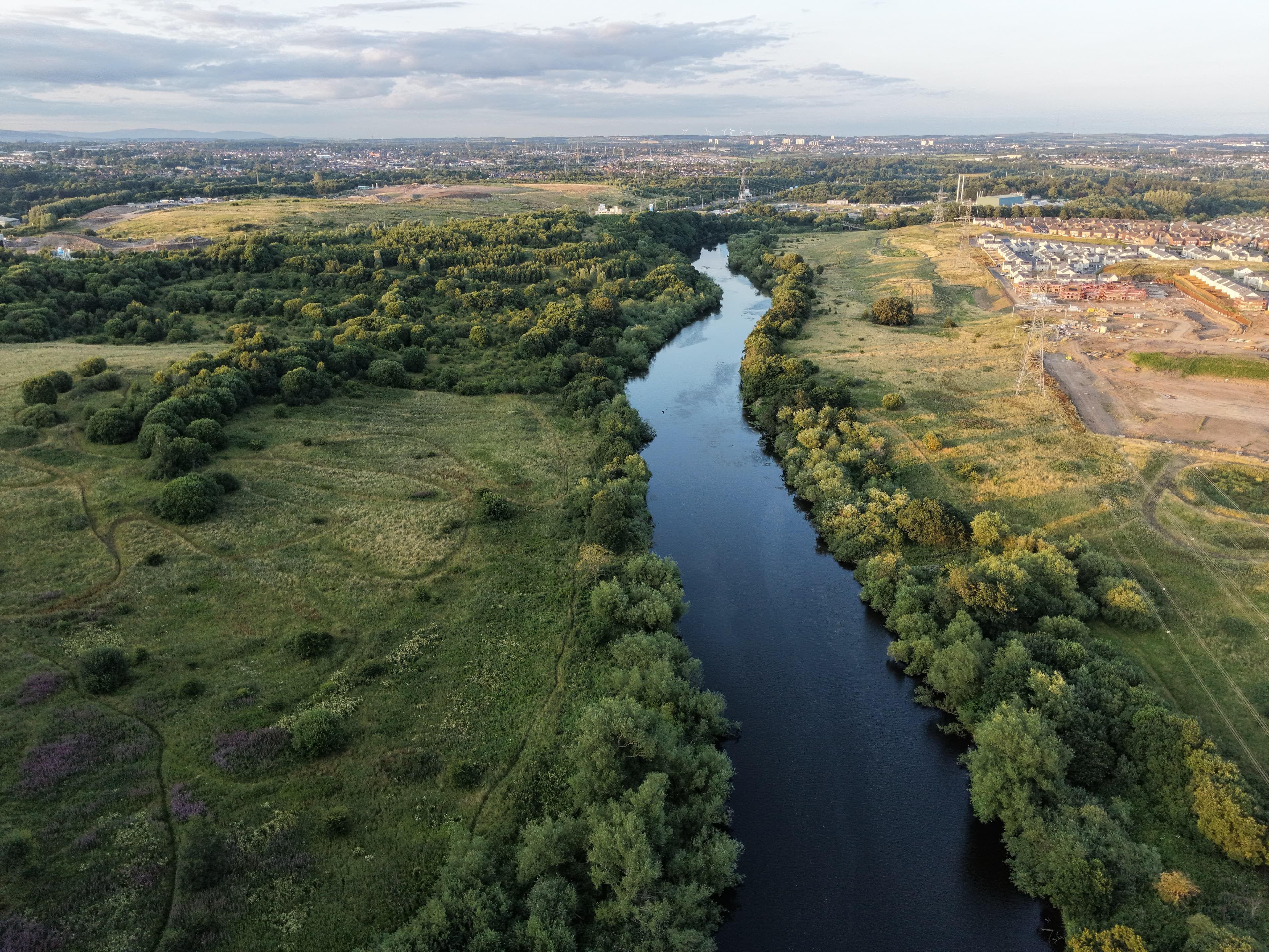
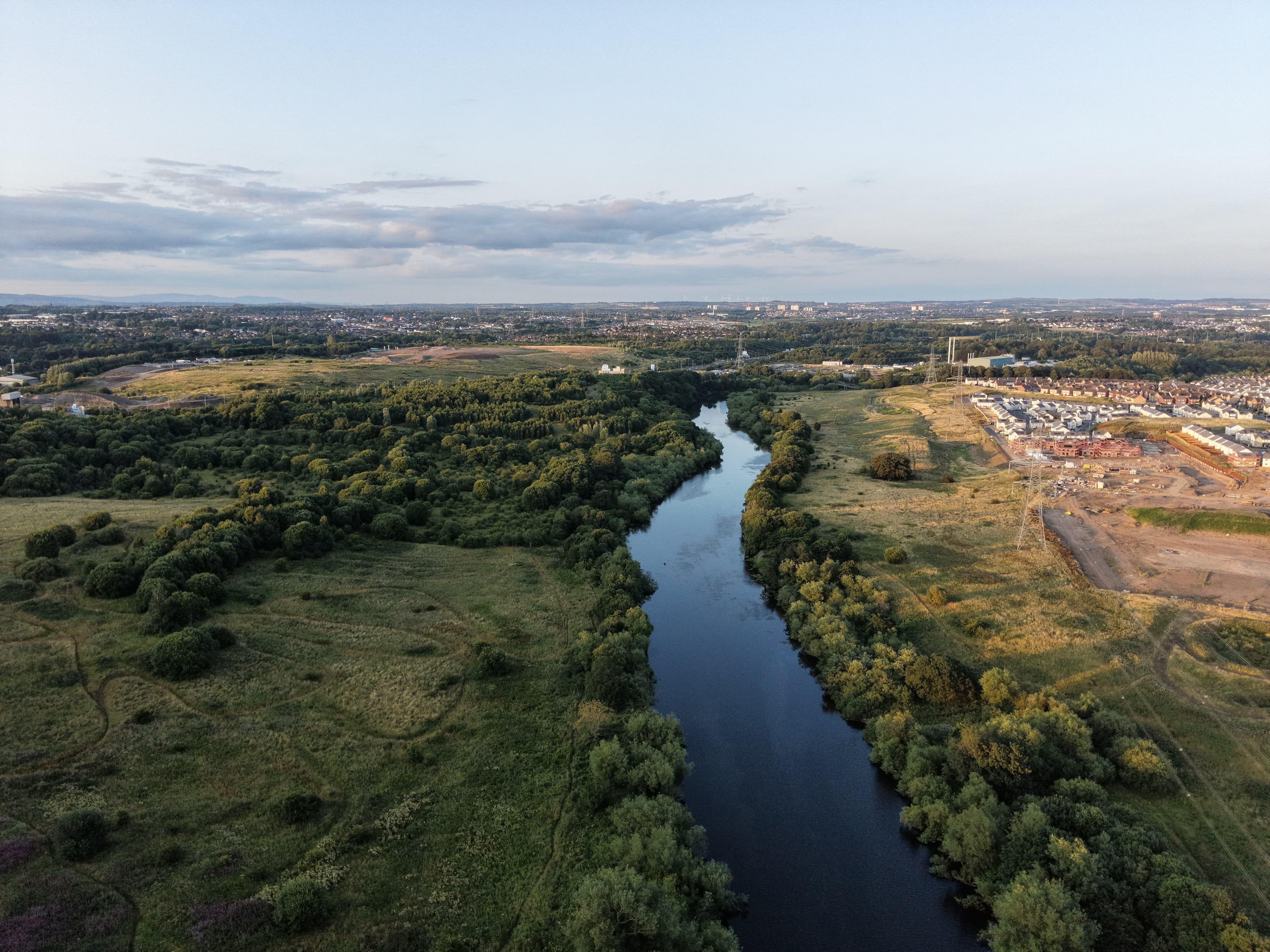
Here the Clyde flows through a landscape of housing, rail corridors, former industrial land and strips of riverside vegetation. The bridge sits away from the main roads and can seem unexpectedly large in its suburban setting. Its survival still helps to trace the old railway geography of Carmyle, Newton and Cambuslang, and the close historic relationship between the river, heavy industry and rail transport in this part of Lanarkshire.
Summer · 20 July 2026
Birds, Water and Wires
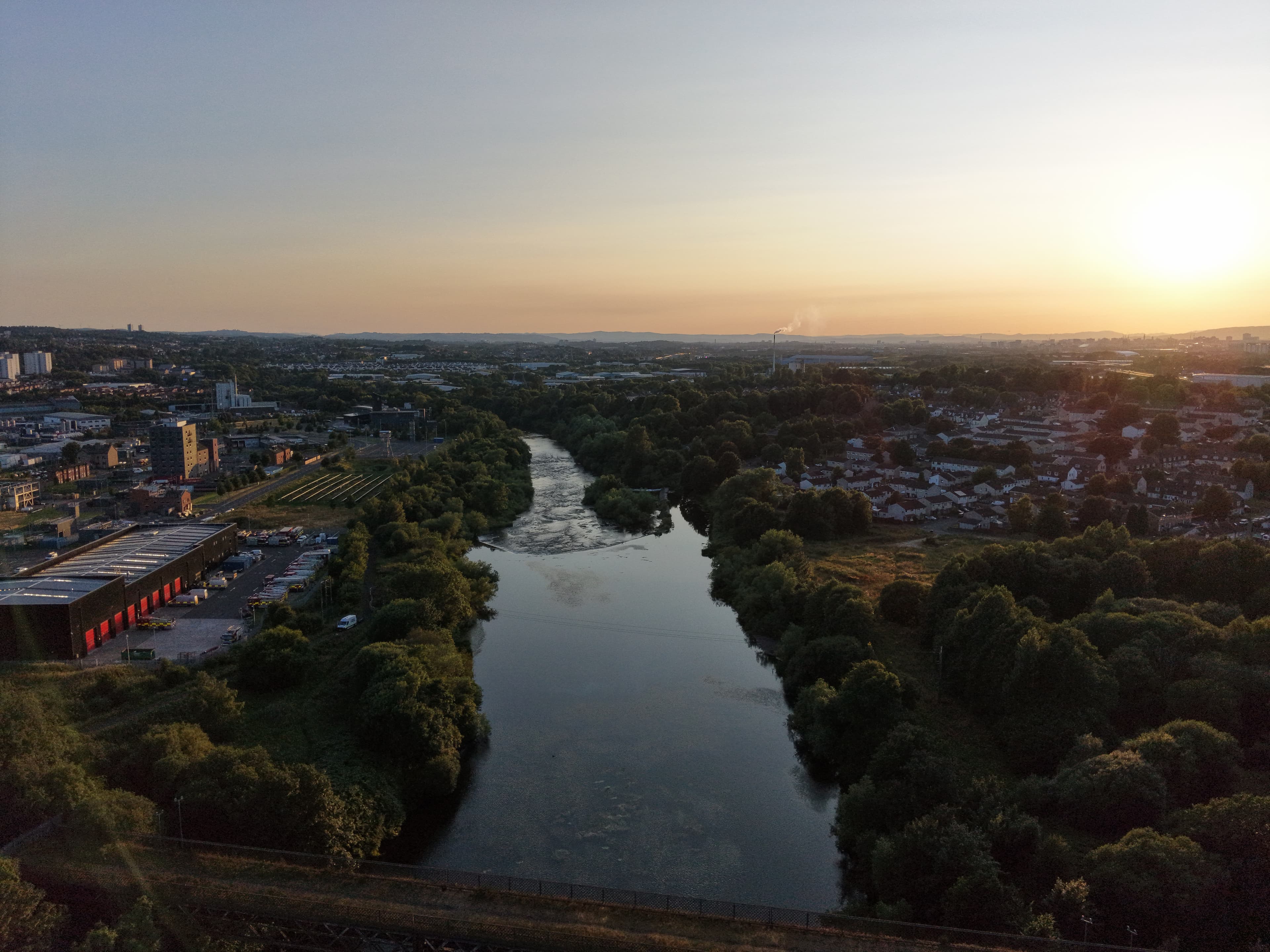
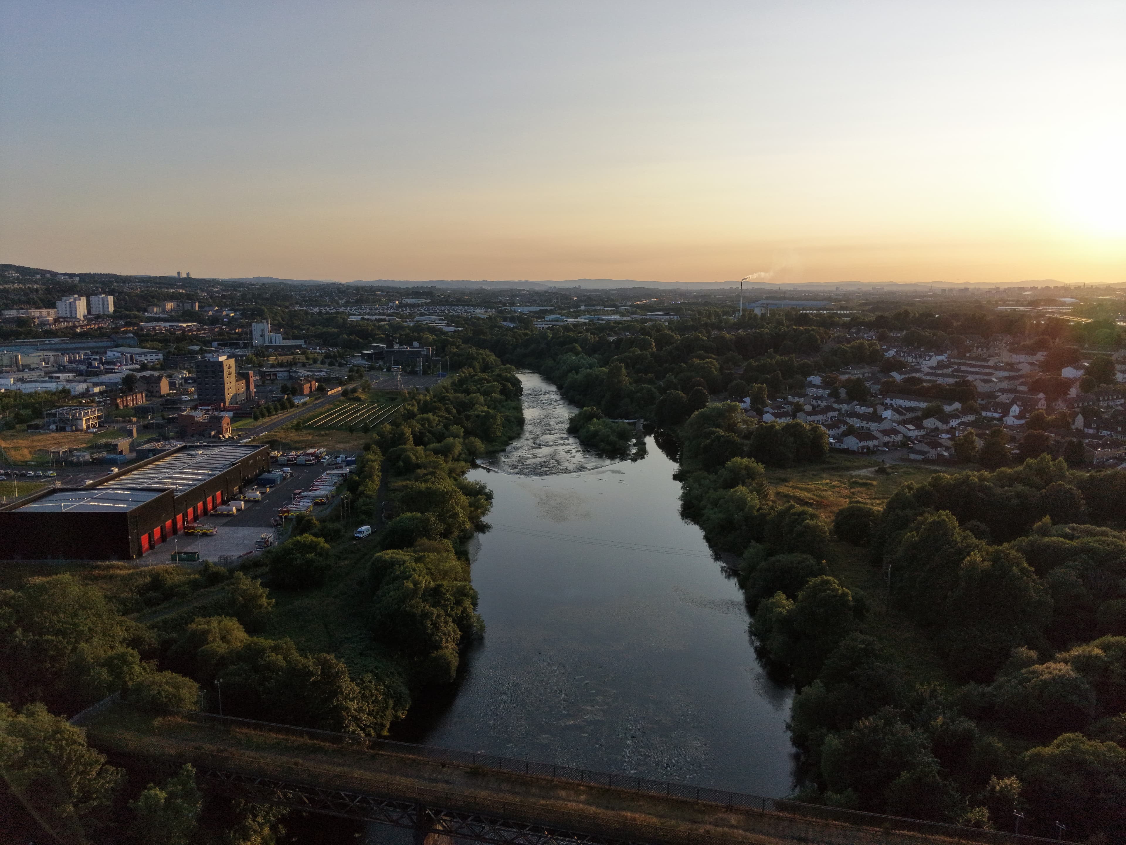
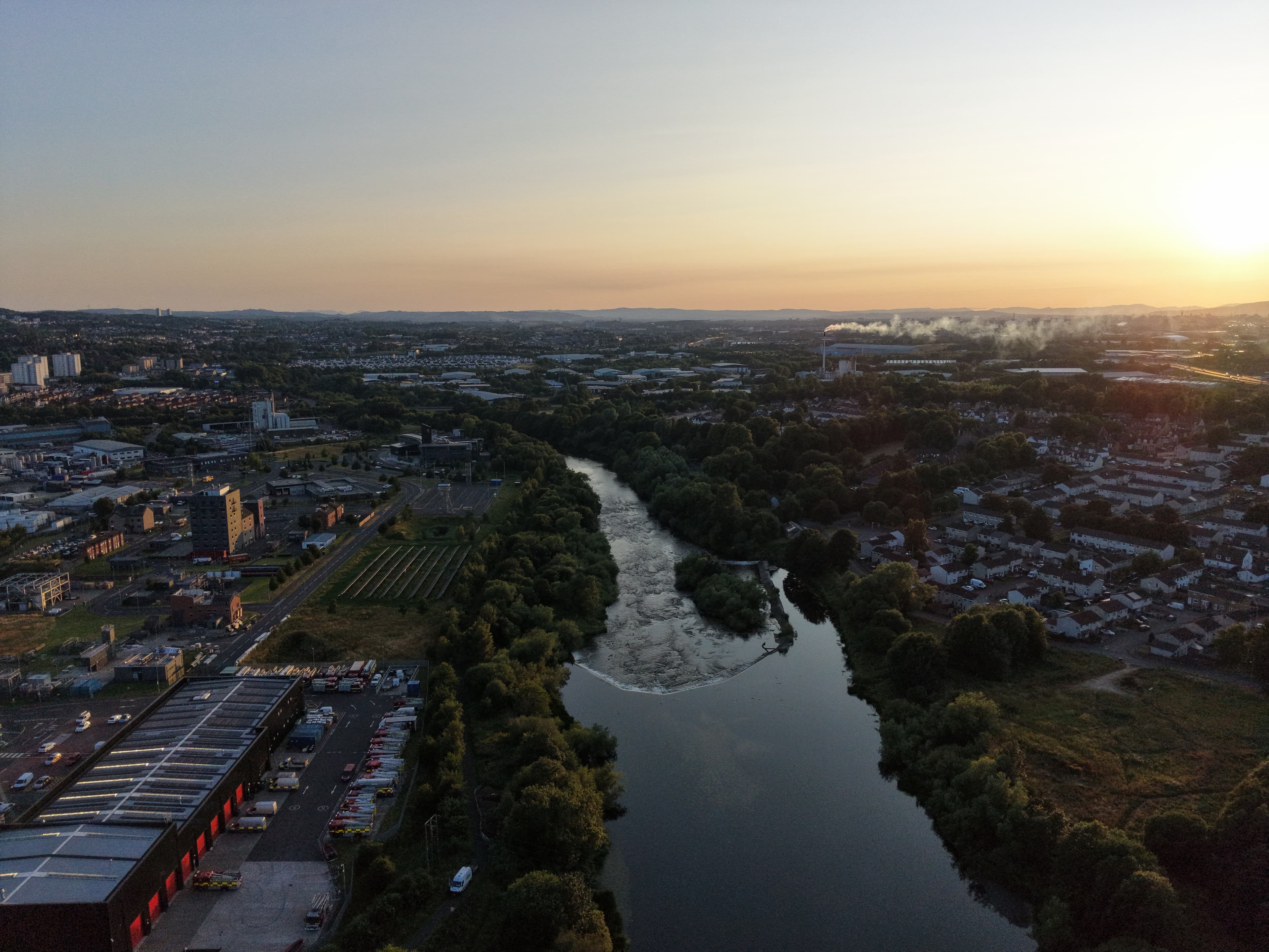
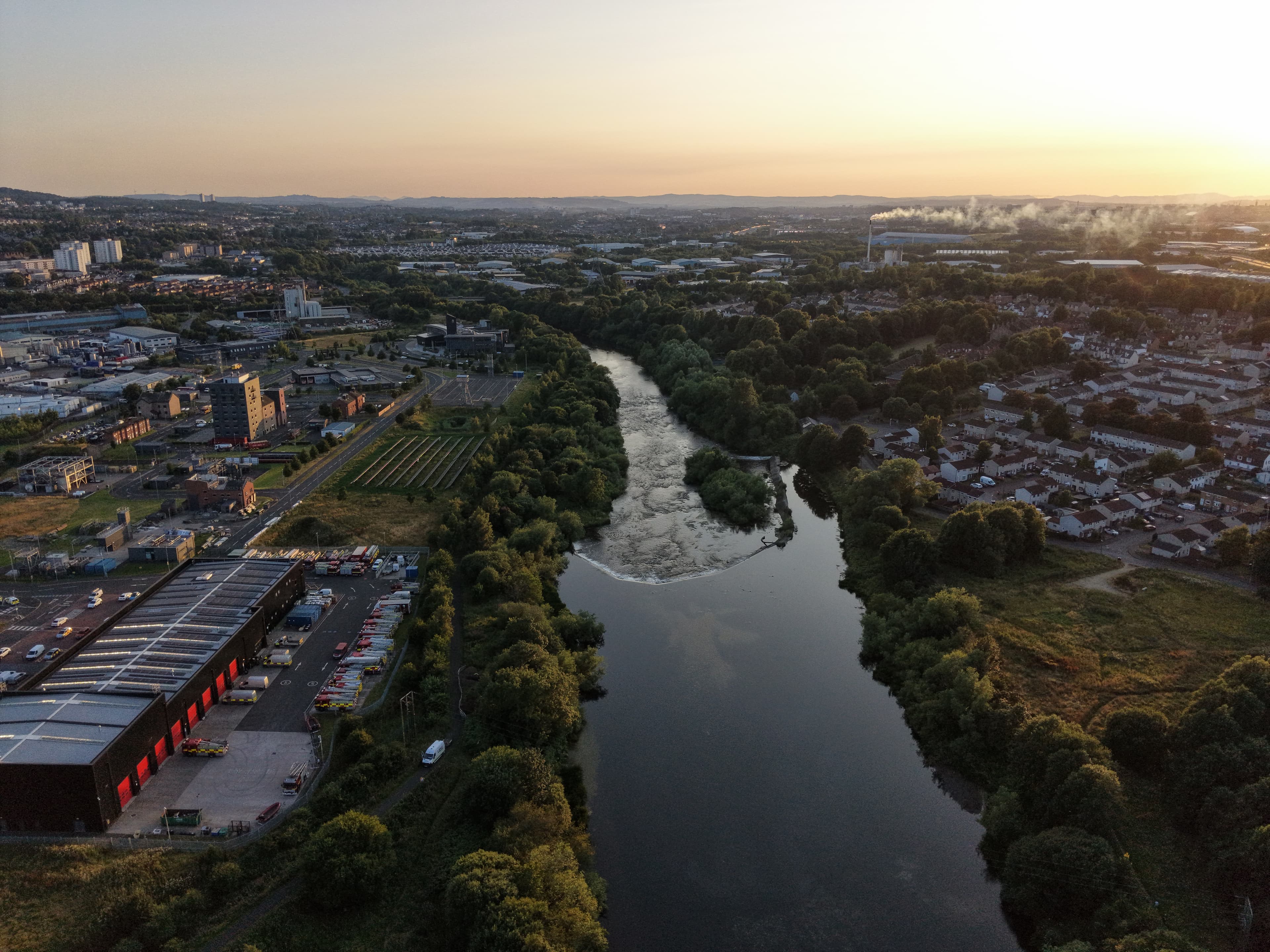
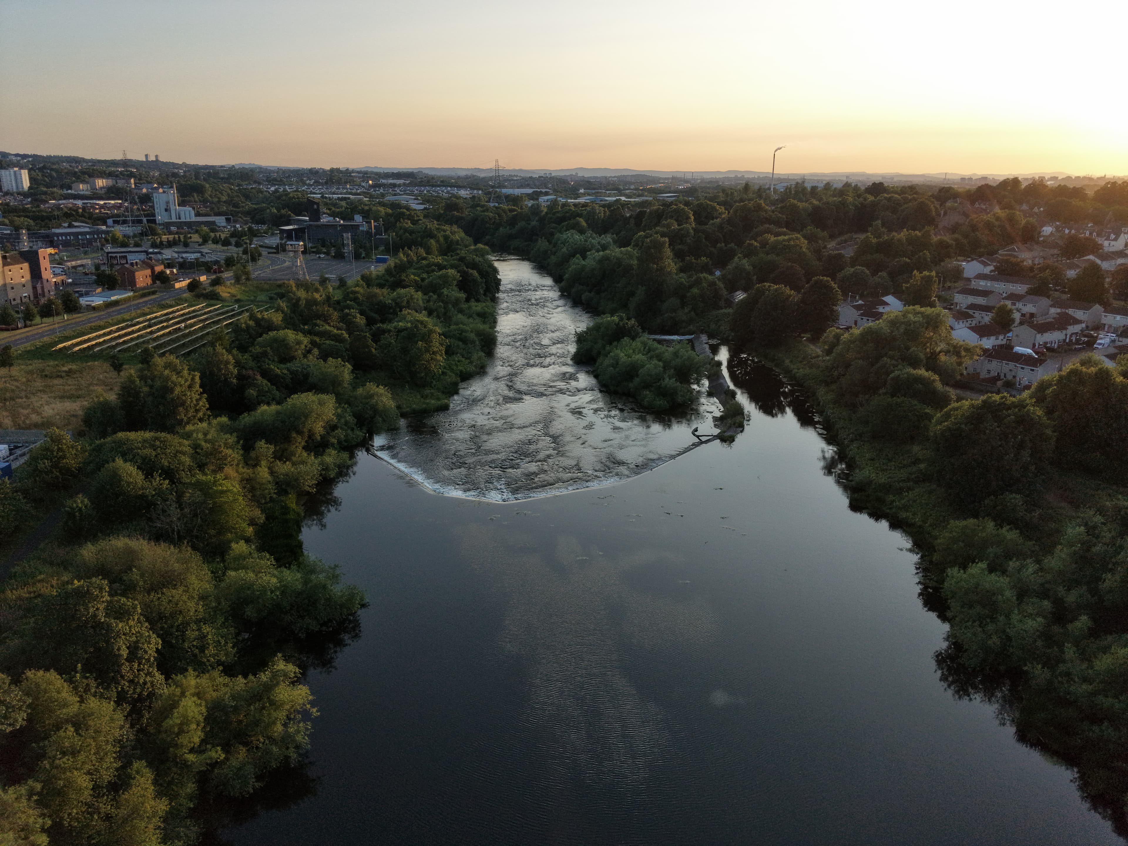
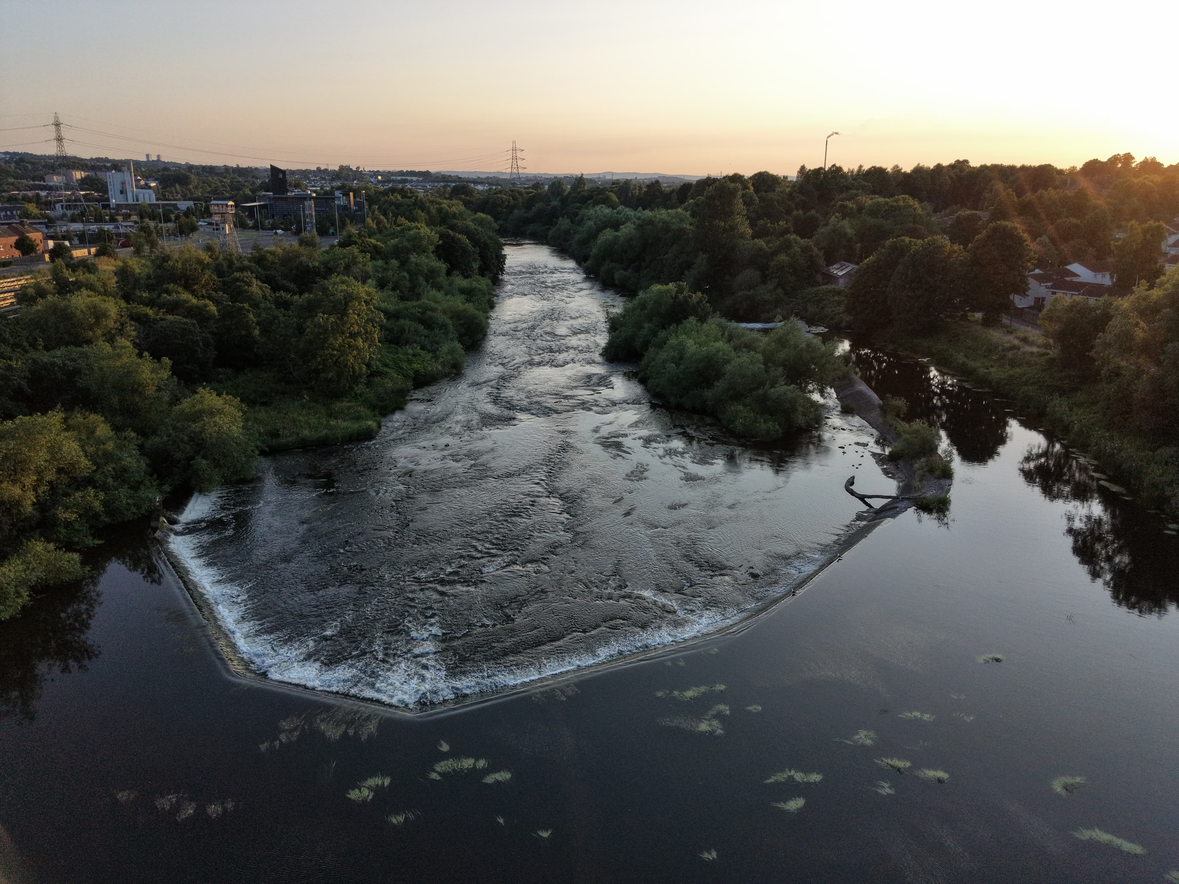
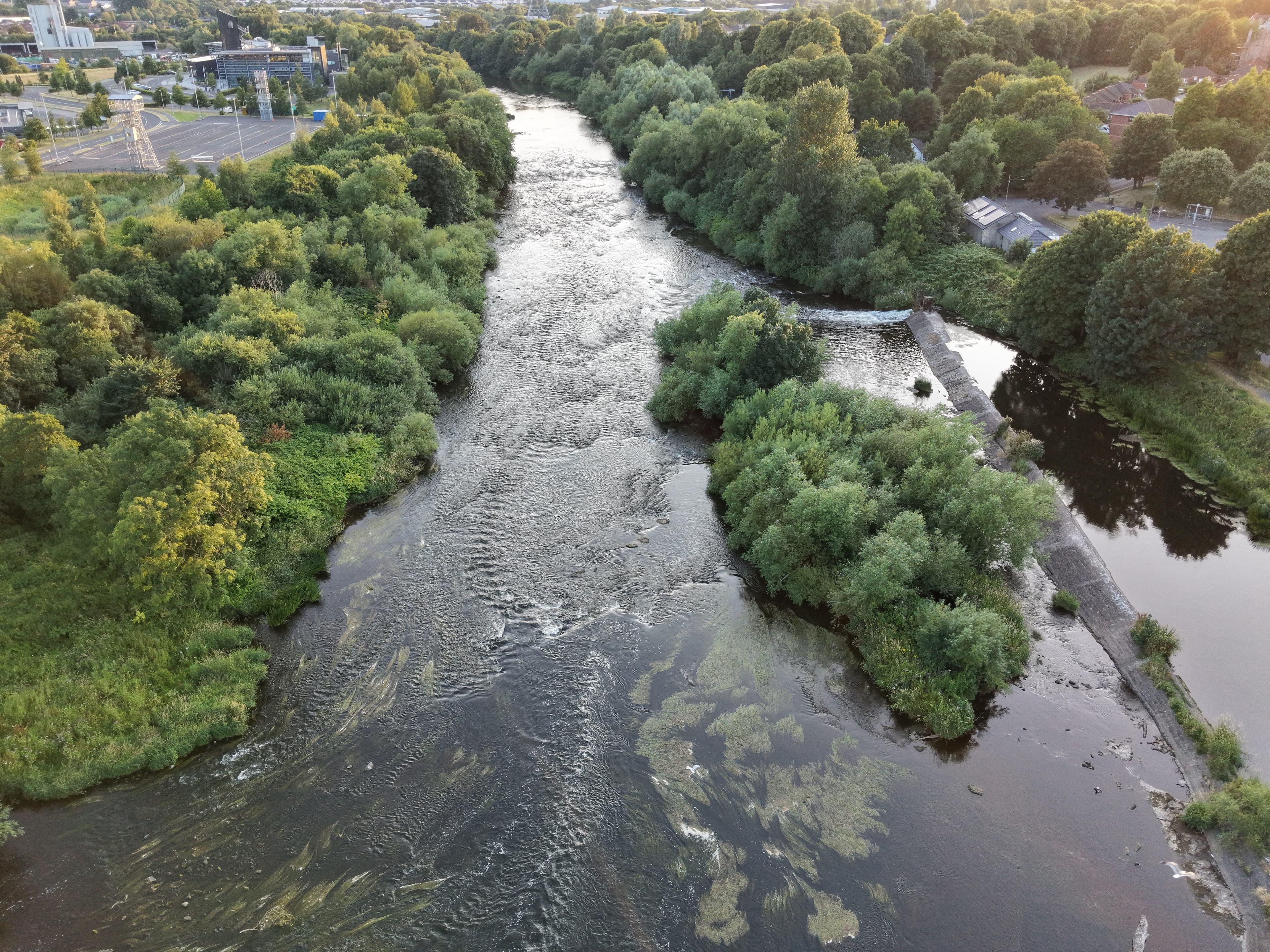
A summer-evening flight at Westburn Viaduct, just before sunset, focused on the water and bridge. The birds on the river felt a bit daunting at first, and a close call with electrical wires made it a careful outing.
Notes from this flight
20 July 2026
This was a summer evening flight at Westburn Viaduct, just before sunset. I wanted to capture the water and the bridge together, with the viaduct sitting across the River Clyde.
The birds on the river made me a little nervous at first. There seemed to be plenty of them around, and I was not entirely sure how they would react to the drone. In the end, though, it was fine, and I could concentrate on getting the shots I had come for.
The bigger reminder came from the electrical wires nearby. I almost hit them, which was far too close for comfort. Nothing happened, but it was a useful warning not to get too caught up in framing the bridge and water at the same time.
What I came away with
I got the combination I wanted: the river below and the old bridge above it, recorded in that short window before sunset. It was a good evening overall, with a couple of moments that kept me properly alert.
Gallery
Photos from this flight
Location
Roughly where it is
General area
Westburn Viaduct
55.82822° N · 4.14780° W
The marker shows the general location only, not a take-off point.
Open in Google Maps