
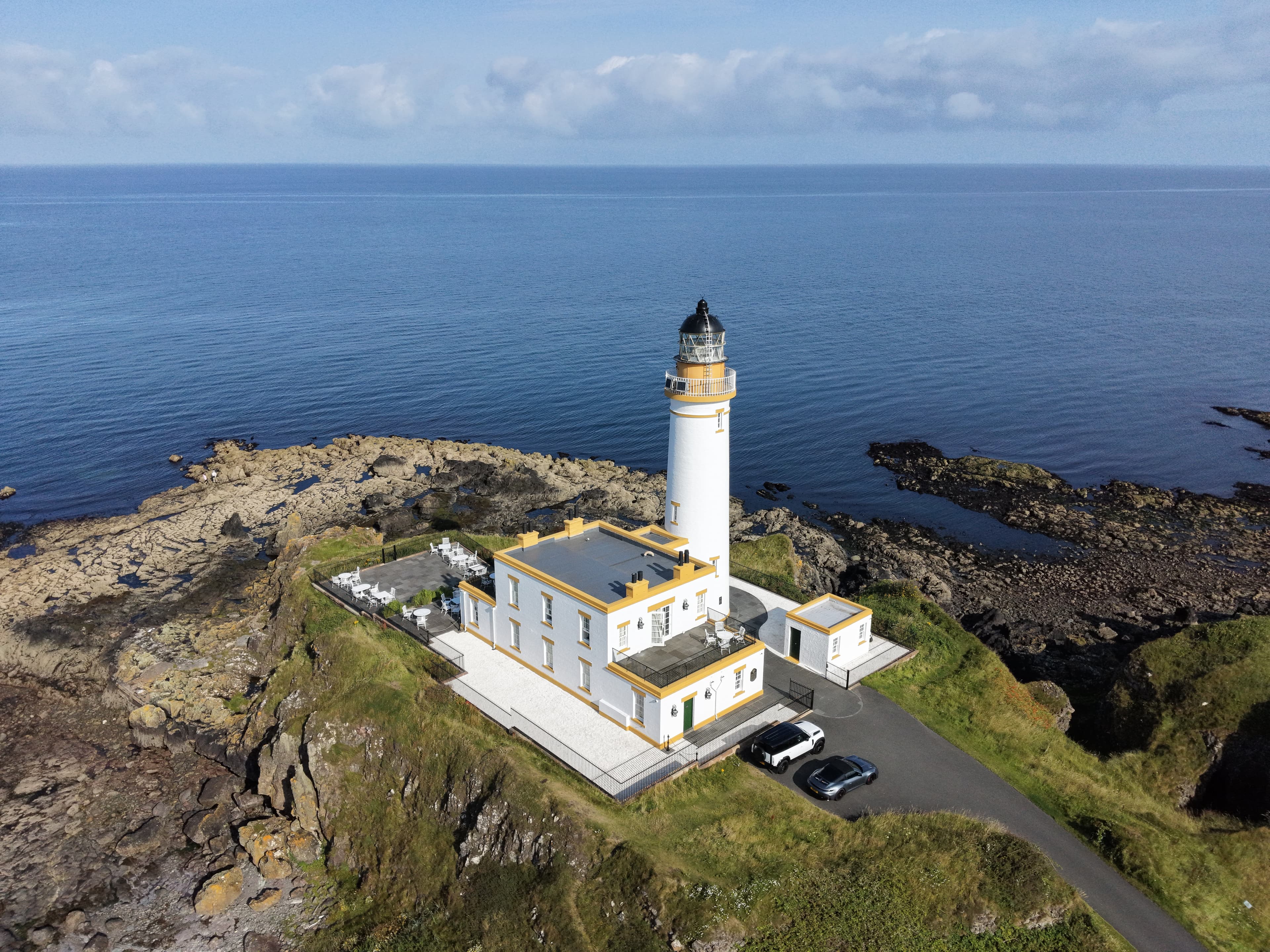
A place I flew
Turnberry Lighthouse
A white nineteenth-century lighthouse on Turnberry Point, South Ayrshire, overlooking the outer Firth of Clyde. Built to guide vessels clear of Bristo Rock, it stands beside the remains of Turnberry Castle and a coastline with unusually revealing volcanic geology.
- Latitude
- 55.32620° N
- Longitude
- 4.84425° W
About the location
The place itself
Turnberry Lighthouse stands on Turnberry Point on the South Ayrshire coast, facing the outer Firth of Clyde. The familiar white tower is closely associated with the Turnberry headland, but its setting is older and more complicated than the building first suggests: the lighthouse and its former keepers’ houses occupy ground within the remains of Turnberry Castle.
A light for a difficult stretch of coast
The lighthouse was established in 1873 for the Northern Lighthouse Commissioners, with David and Thomas Stevenson as engineers. Its purpose was to mark a hazardous part of the coast near Bristo Rock, a reef offshore which had been linked with numerous wrecks. An earlier proposal had considered placing a light directly on the rock, but the Stevensons judged that impractical and recommended Turnberry Point instead.
The light was first shown on 30 August 1873. Its original flashing pattern was chosen to distinguish it from other lights around the Firth of Clyde. The station was automated in 1986 and is remotely monitored by the Northern Lighthouse Board. The tower remains an active aid to navigation, with a white flash every 15 seconds.
The building and its historic setting
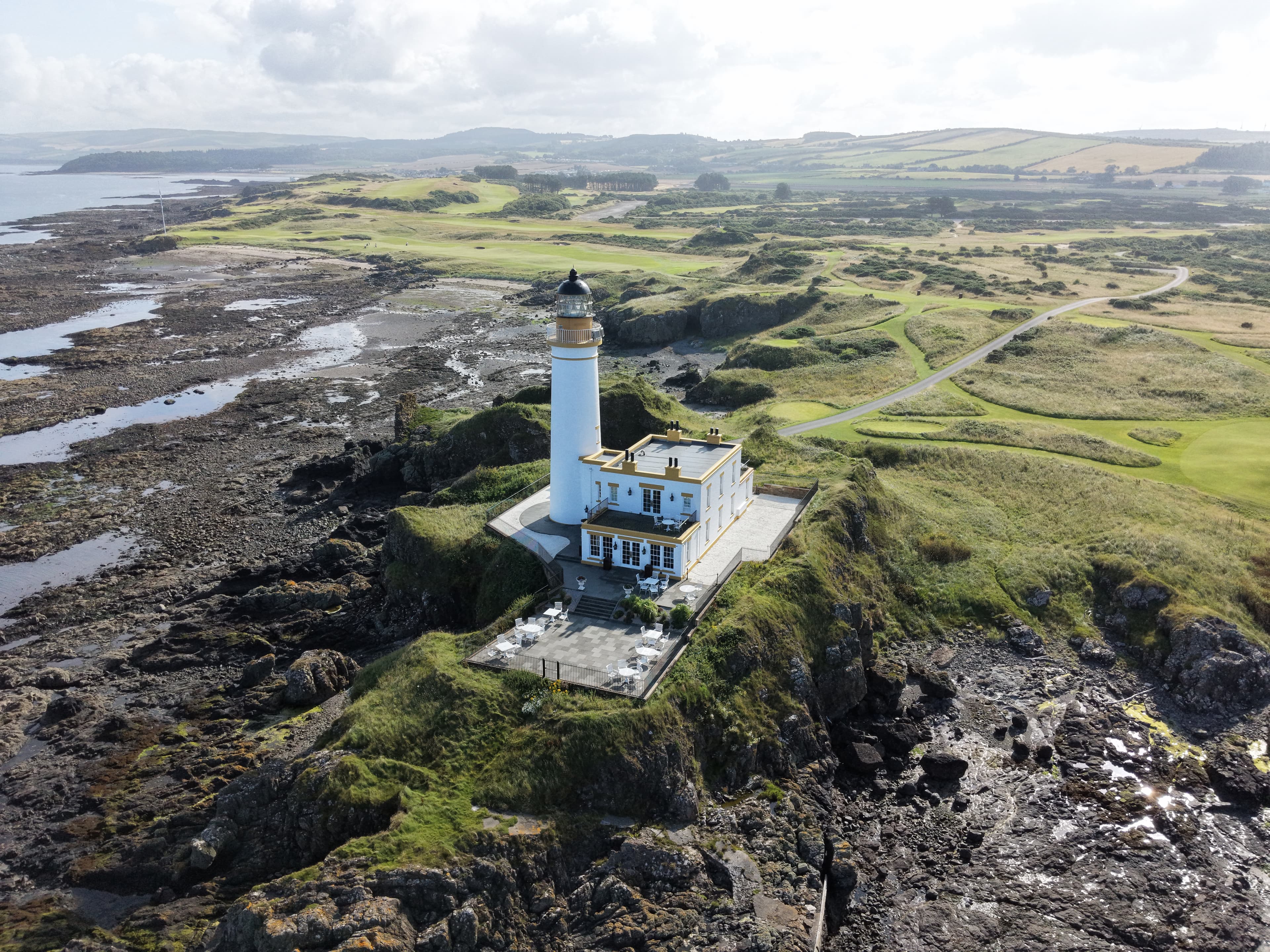
The lighthouse is a tapering, circular brick tower, painted white, with a lantern at its top and small windows following the internal stair. The associated keepers’ houses and service buildings make it feel more like a compact former station than an isolated tower. The group is protected as a Category B listed building.
Turnberry Castle survives only as ruins, but its earthworks give the point another layer of history. The relationship is unusually close: the lighthouse was built where the castle’s moat once lay. It is worth treating the castle and lighthouse as separate periods of the same small headland rather than assuming the tower itself is ancient.
Rock, shore and open coast
The shore around the point is notable in its own right. It forms the southern end of the Turnberry Lighthouse to Port Murray Site of Special Scientific Interest, designated for exposed Old Red Sandstone geology. Along this coast, sheets of purple-grey andesite occur among sandstone and mudstone. These rocks were once interpreted as lava flows, but are now understood as magma that forced its way into wet, unconsolidated sediment around 400 million years ago.
Wave-cut platforms and low cliffs reveal some of this story, although the exposures are part of a protected scientific site and are best appreciated without disturbing or collecting from them. The open coastal position also explains why lighthouse keepers made early observations of bird migration here, long before Scotland’s better-known island observatories were established.
Summer · 2 August 2026
A Sunday at Turnberry Lighthouse
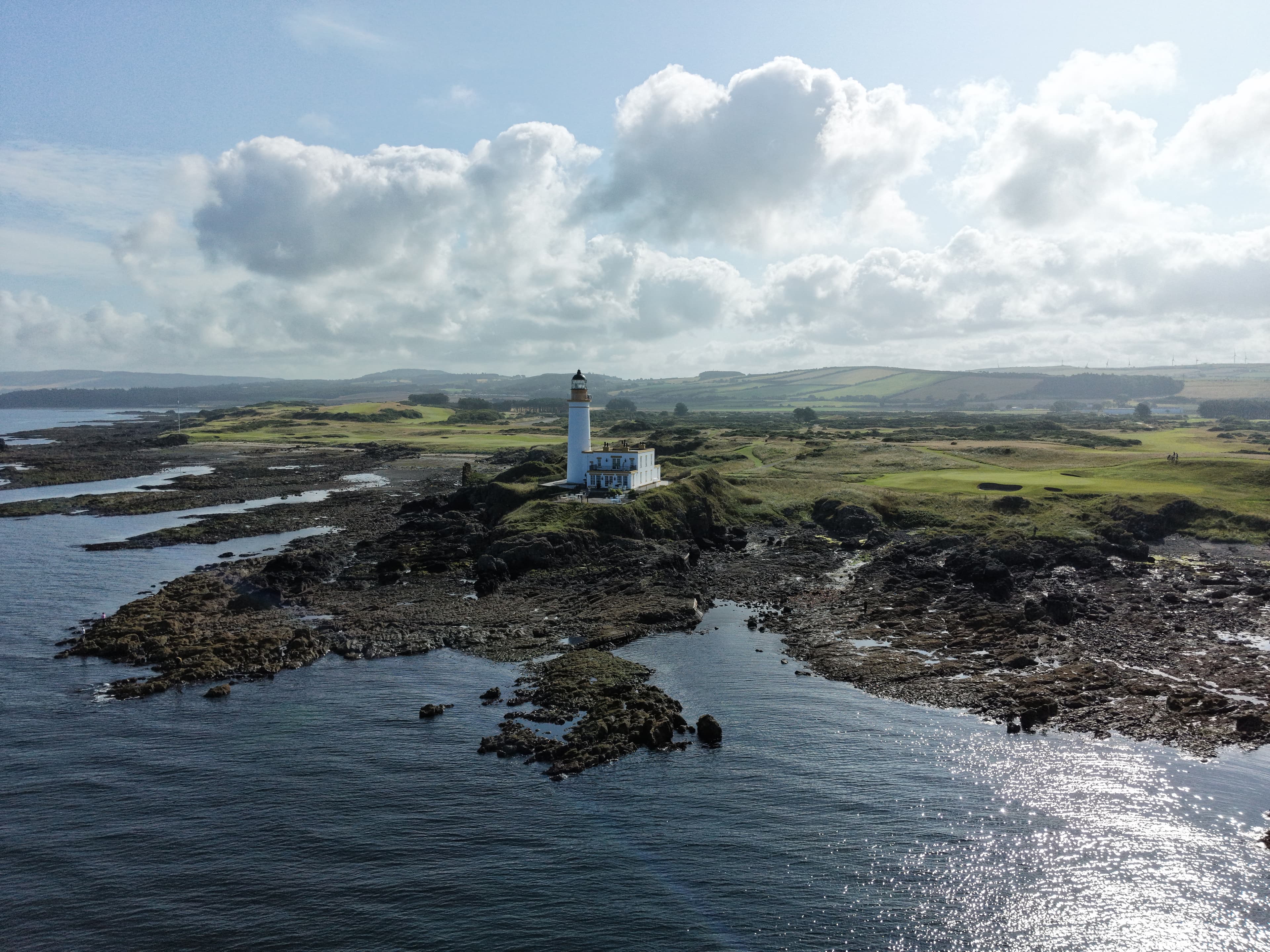
A sunny Sunday morning flight at Turnberry, focused mainly on the lighthouse, with a few wider views of the rocky shore and the water included along the way.
Notes from this flight
2 August 2026
Sunday 2 August 2026
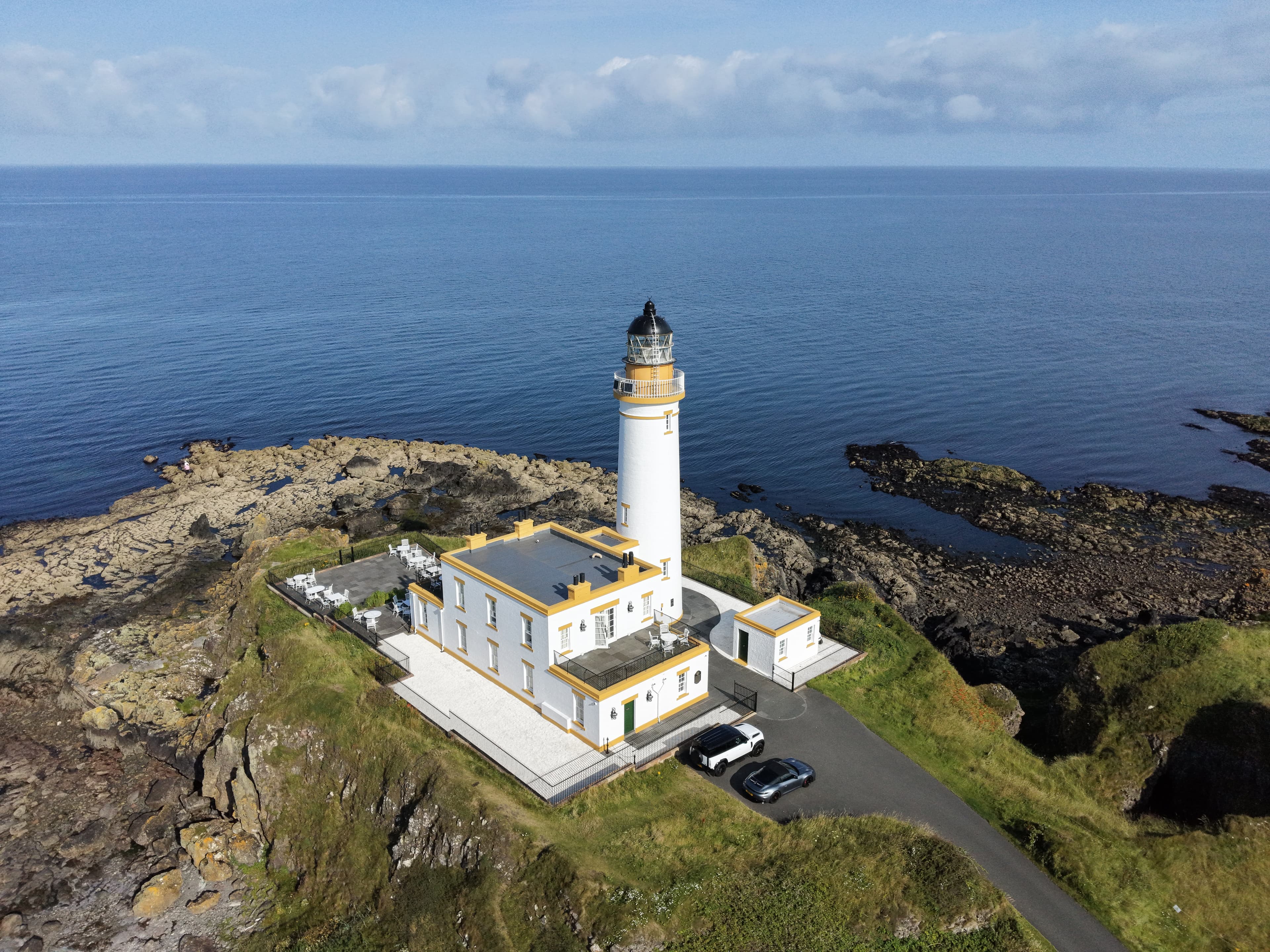
This was a sunny Sunday morning in August, with nice weather for a flight at Turnberry Lighthouse. My main focus was the lighthouse itself, using the flight to work around its familiar shape and setting on the coast.
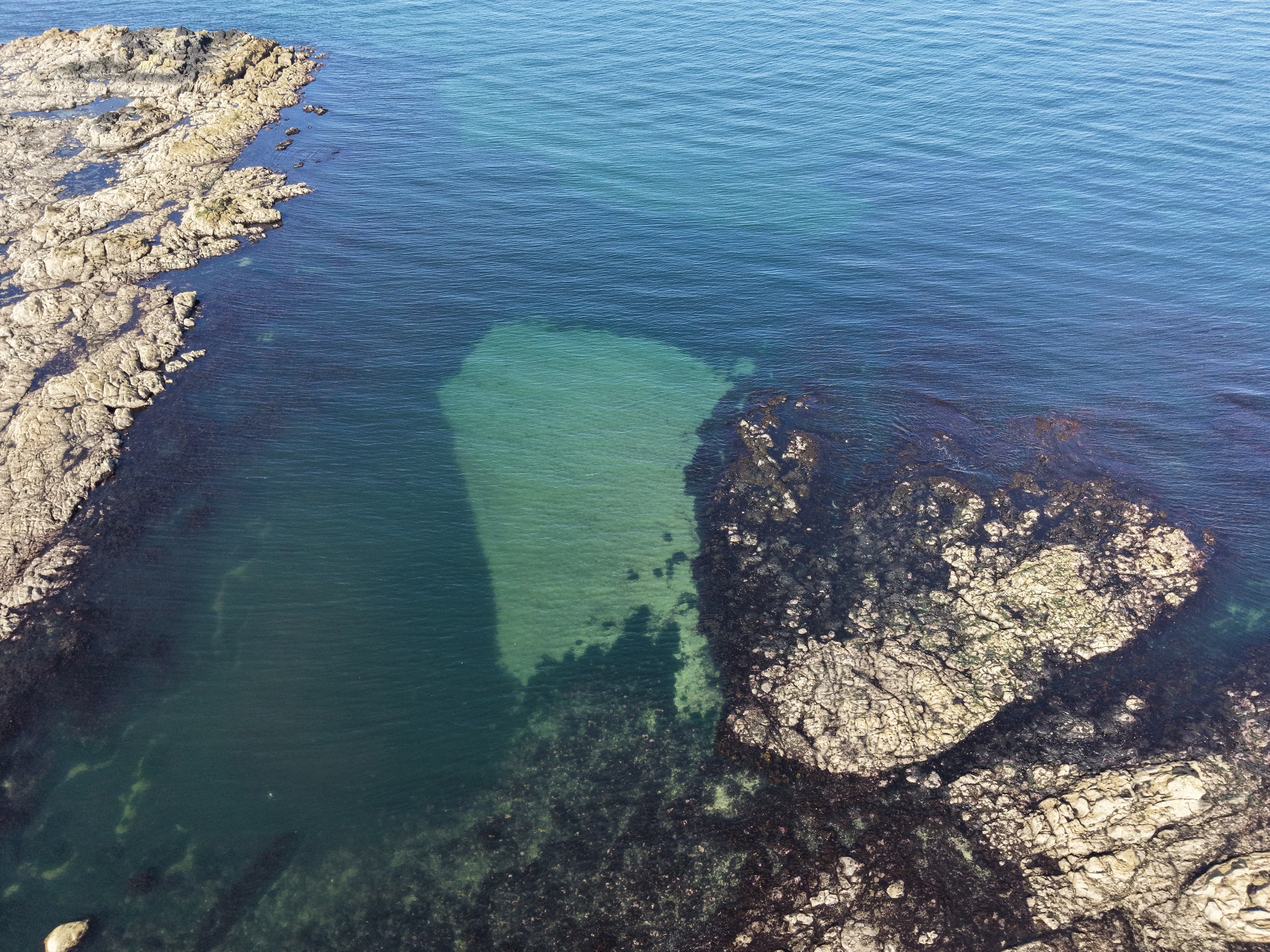
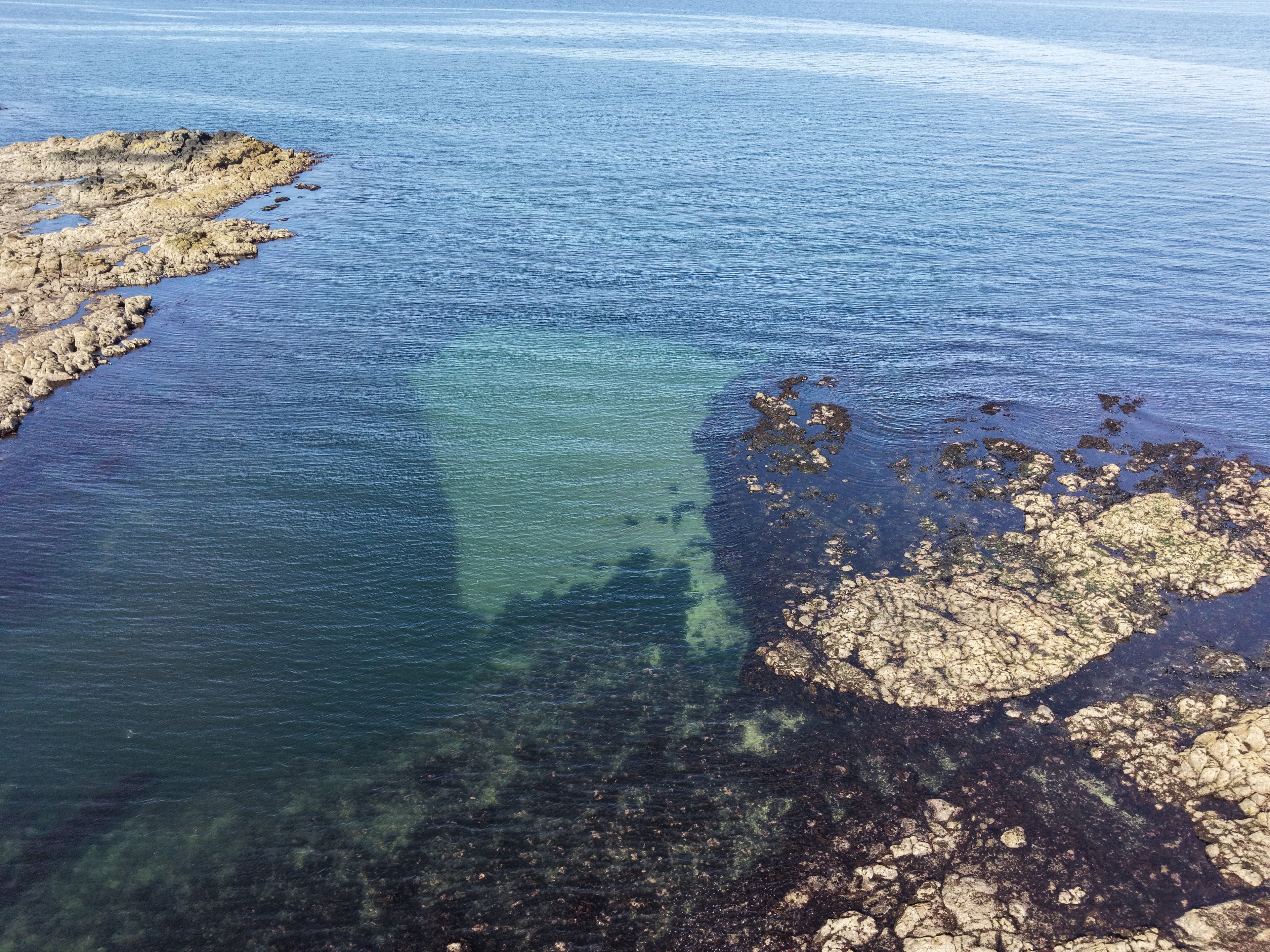
I also captured some of the shore and water, rather than keeping every shot tightly framed on the tower. The rocky side of the beach gave the outing a different foreground to work with, and it was useful to include a little more of the coastline in the final set.
Turnberry Lighthouse was established in 1873 and designed by David and Thomas Stevenson, so it has been part of this stretch of Ayrshire coast for well over a century.
For this visit, though, the aim was straightforward: spend a bit of time looking at the lighthouse from the air and come away with a mix of lighthouse, shoreline and sea views.
Look around
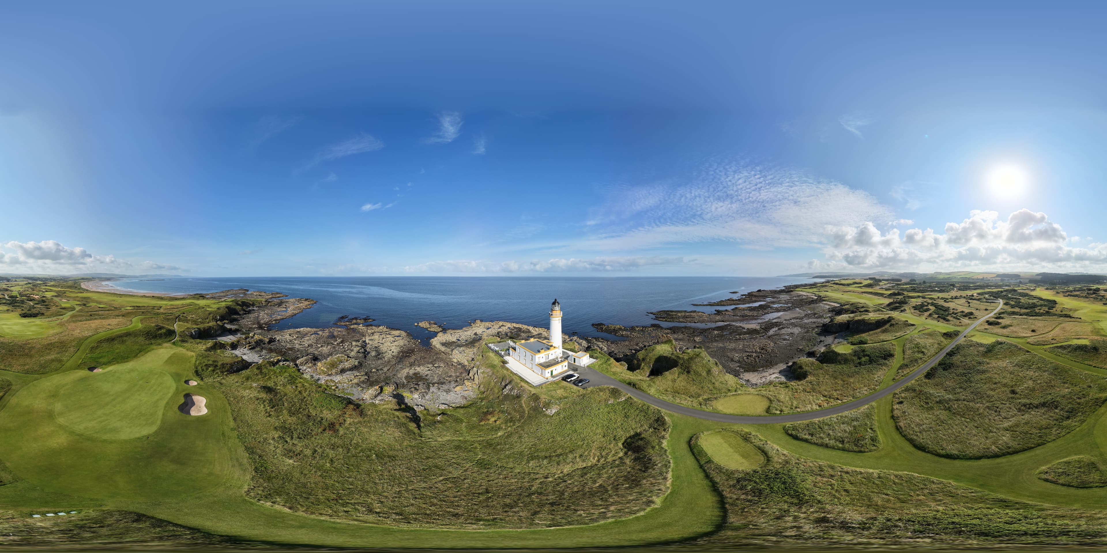
The flight in 360°
An interactive view from this visit. Click to load it, then drag around the scene.
Turnberry Lighthouse 360 01
Gallery
Photos from this flight
Location
Roughly where it is
General area
Turnberry Lighthouse
55.32620° N · 4.84425° W
The marker shows the general location only, not a take-off point.
Open in Google Maps