
A place I flew
Stirling Castle
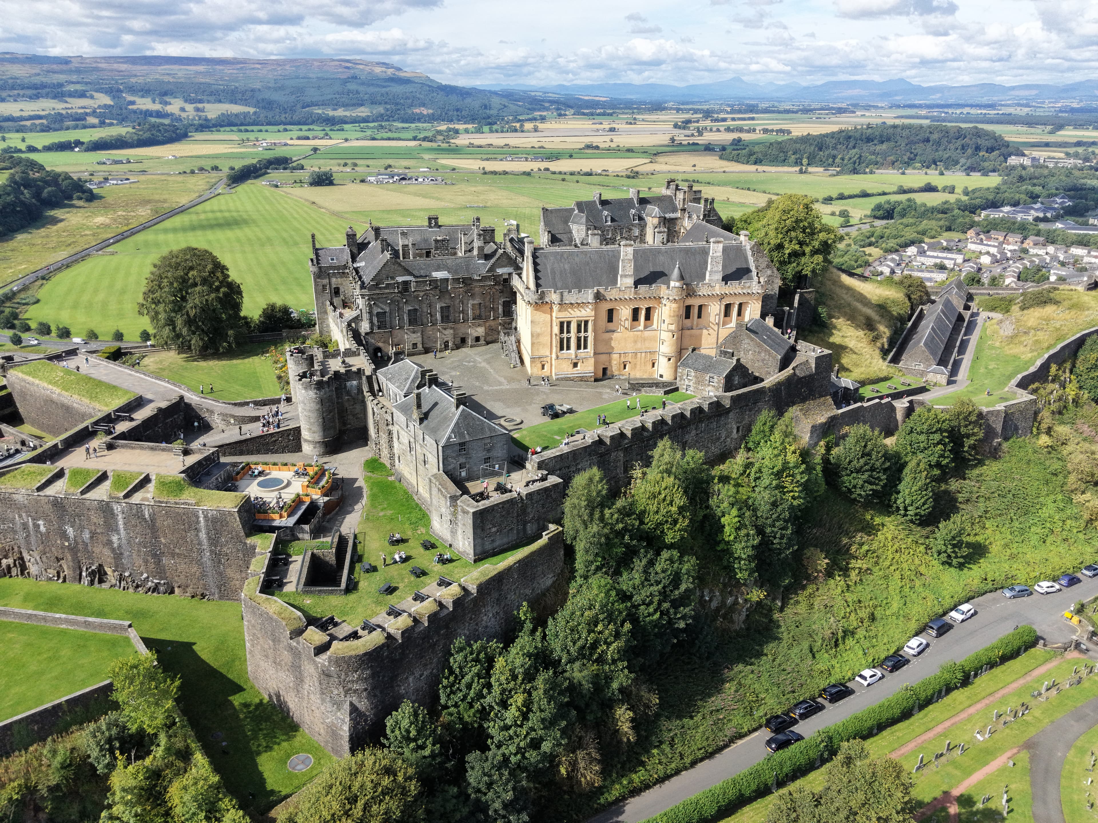
A major royal fortress on Castle Rock above Stirling’s Old Town, Stirling Castle combines medieval defences, Renaissance palace buildings and later military additions. Its high position above the Forth valley explains both its strategic importance and its lasting presence in Scotland’s history.
- Latitude
- 56.12335° N
- Longitude
- 3.94798° W
About the location
The place itself
Stirling Castle stands on Castle Rock, a steep volcanic outcrop above Stirling’s Old Town. The rock rises above the broad valley of the River Forth, near the historic meeting point of the Highlands and Lowlands. That setting made it a natural stronghold: it commands long views across the upper Forth valley while its craggy sides offered strong protection on several approaches.
The castle was already established by the early 12th century. An existing chapel there was endowed by King Alexander I sometime between 1105 and 1115, which is the earliest certain documentary reference. Over the following centuries, Stirling became one of Scotland’s principal royal residences as well as an important fortress and administrative centre.
A castle at the centre of Scottish history
Control of Stirling mattered because of its position near a key crossing of the Forth. The town and castle were repeatedly contested during the Wars of Independence. The Battle of Stirling Bridge was fought nearby in 1297, while the siege of the castle was one of the immediate causes of the Battle of Bannockburn in 1314. After Bannockburn, Robert the Bruce ordered the castle’s defences slighted so that they could not readily be used by an enemy.
Much of what is visible now reflects the Stewart royal court rather than the earlier medieval fortress. James IV built the King’s Old Building and the Great Hall around the turn of the 16th century. James V added the Royal Palace in the 1540s, creating one of the finest surviving Renaissance buildings in Scotland. Mary, Queen of Scots was crowned at Stirling in 1543, and her son, the future James VI, was baptised here in 1566. James VI later commissioned the Chapel Royal for the baptism of Prince Henry in 1594.
Buildings and landscape
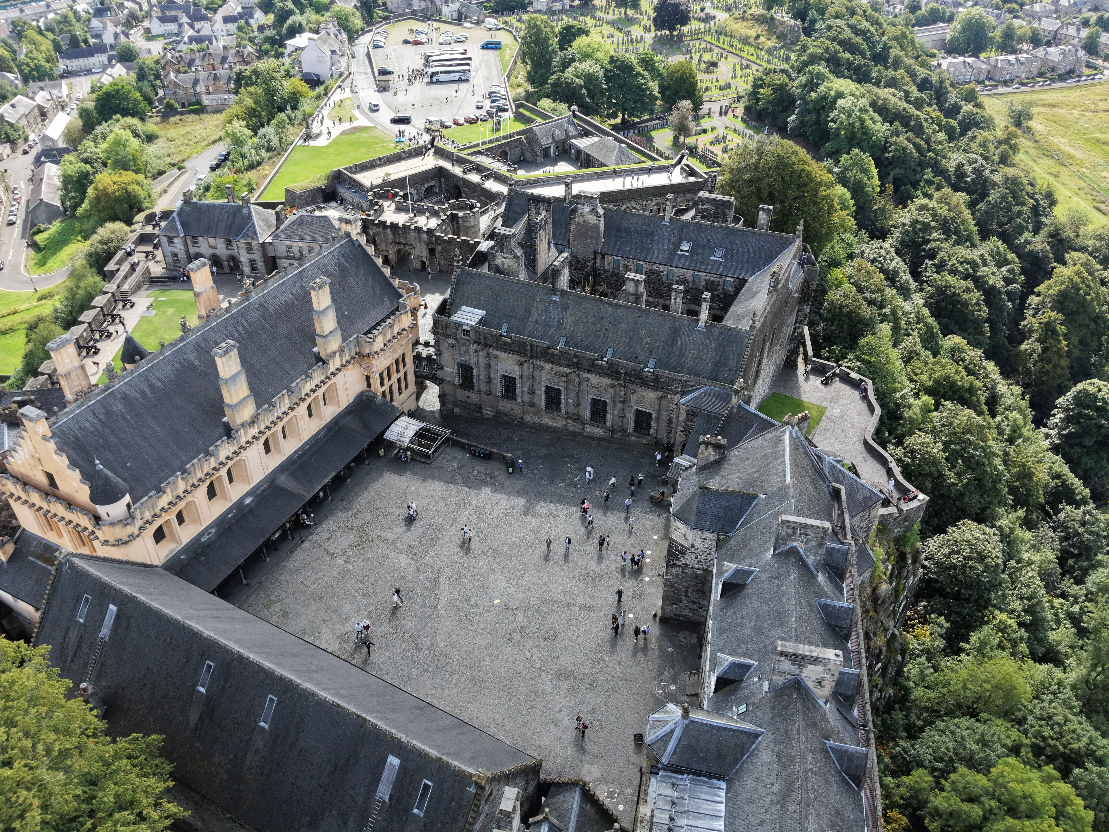
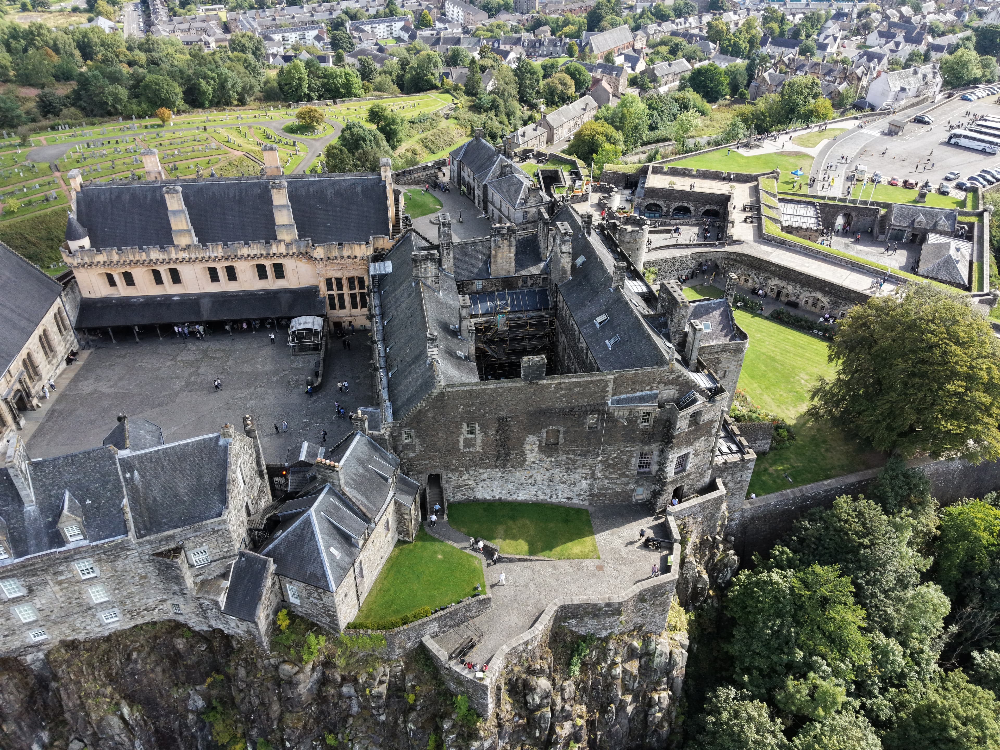
The castle is not one structure but a layered complex of courts, halls, palace rooms, kitchens, chapel, walls and gun defences. The Inner Close is framed by the principal royal buildings, while the outer areas show later changes in military use. Eighteenth- and nineteenth-century army buildings and powder magazines are reminders that the site remained strategically useful long after the royal court had moved elsewhere.
Below and beyond the walls, the view takes in Stirling, the looping Forth and the former royal hunting grounds of the King’s Park. The open valley is an important part of understanding the castle: its position was chosen not simply for height, but for control, visibility and the connection between routes through central Scotland.
Stirling Castle is a scheduled monument and remains one of the clearest places to see how Scotland’s royal, military and political histories overlap in a single landscape.
Summer · 29 August 2026
A Sunny August Castle Flight
A sunny August flight outside Stirling Castle, using public land beyond the castle area and making the most of the good weather to capture the castle from the air.
Notes from this flight
29 August 2026
29 August 2026
This was a straightforward flight on a sunny August day, with good weather for spending some time around Stirling Castle. I took off from public land outside the castle’s area and concentrated on capturing the castle from the air.
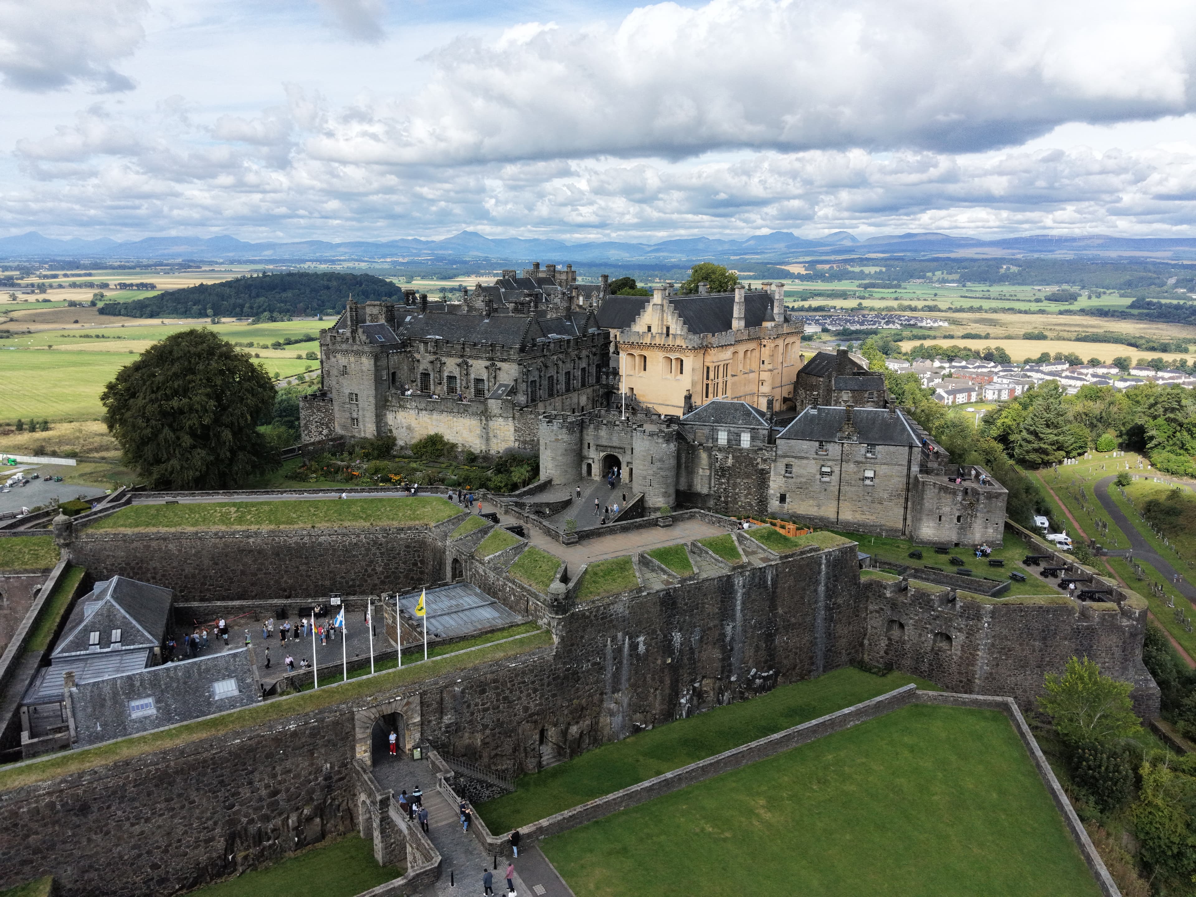
The aim was simply to record the scale and shape of the place from a different angle. The castle sits high above Stirling’s Old Town on a volcanic crag, and its buildings have been added to and altered across many centuries. That long development is part of what makes the outline so distinctive.
For this visit, though, the focus was the flight itself: a clear, bright day and a chance to bring home aerial footage of one of Scotland’s most recognisable castles.
Flight notes
Date: 29 August 2026
Conditions: sunny August day; good weather
Subject captured: Stirling Castle
Take-off: public land outside the castle area
Look around
The flight in 360°
An interactive view from this visit. Click to load it, then drag around the scene.
Stirling Castle Pano3
Gallery
Photos from this flight
Location
Roughly where it is
General area
Stirling Castle
56.12335° N · 3.94798° W
The marker shows the general location only, not a take-off point.
Open in Google Maps