
A place I flew
Drumpellier Country Park
A large country park on the western side of Coatbridge, centred on Lochend and Woodend lochs. Drumpellier combines water, woodland, grassland and wet ground with traces of an older estate landscape, and forms part of the wider Seven Lochs Wetland Park.
- Latitude
- 55.87314° N
- Longitude
- 4.05942° W
About the location
The place itself
Drumpellier Country Park lies on the western edge of Coatbridge, North Lanarkshire, in a part of the Central Belt where urban neighbourhoods, old industrial routes and wetland landscapes meet. Covering roughly 500 acres, it is a varied public park rather than a single formal landscape: two natural lochs sit among woodland, grassland, moorland and wetter ground.
Lochend Loch is the better-known water body within the park and is often simply called Drumpellier Loch locally. Woodend Loch, to the north, has a quieter and more natural character. Its status as a Site of Special Scientific Interest reflects the importance of the loch and its wetland vegetation. The lochs, their margins and the Monkland Canal along the park’s southern side make this an important patch of open water and habitat in a built-up area.
A landscape for wildlife
The mix of habitats is the real strength of Drumpellier. Open water attracts resident and seasonal water birds, while the woodland and grassland support smaller birds, mammals, insects and a changing range of plants and fungi. Reedbeds, marshy edges and damp woodland are easily disturbed environments, so the park is perhaps best understood as a shared place: somewhere with room for everyday recreation, but also with wildlife that depends on a little space and quiet.
Drumpellier is one of the main gateways to the wider Seven Lochs Wetland Park, a cross-boundary landscape linking lochs, parks, woodland and nature reserves between North Lanarkshire and Glasgow. That wider setting helps explain why the park feels more extensive than its boundaries on a map might suggest.
Older ground beneath the park
The area has a long human history. In the medieval period, Drumpellier was associated with the farming lands of Newbattle Abbey, a connection remembered in the historic name Monklands. It later became a private estate, with Drumpellier House and its policies shaping much of the landscape. The estate grounds were given to the Burgh of Coatbridge for public use in 1919, and the site was designated as a country park in 1984.
There is also evidence of much earlier activity around the lochs. Archaeological work identified a crannog beneath Lochend Loch: a former artificial island or timber-built dwelling site in the water. The crannog is not a visible ruin, but it adds another layer to a place that can otherwise seem simply like a familiar local park.
Character
Drumpellier’s appeal is in its contrast. Paths and family facilities sit alongside mature trees, water views and patches of rougher habitat. The former estate, the canal corridor and the lochs have all left their mark, making it a useful place for noticing how nature and local history overlap close to Coatbridge.
Summer · 13 August 2026
Calm Above Drumpellier
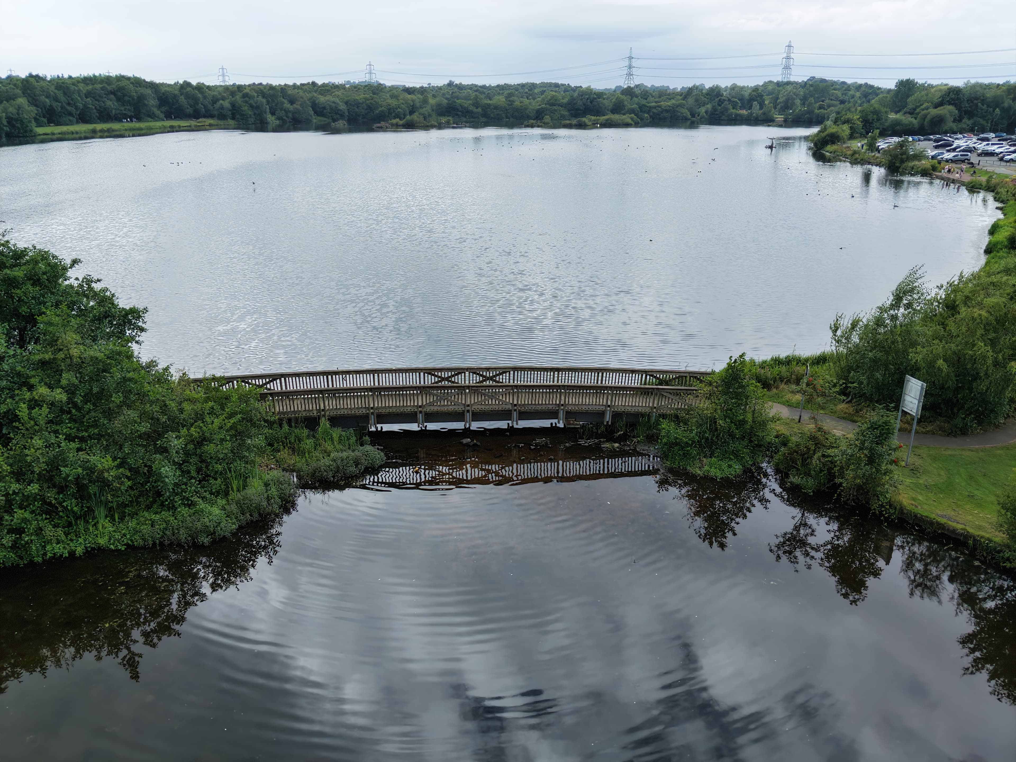
A relaxed, cloudy-day flight over Drumpellier Country Park, looking across the water and birds while picking out sections of the walking paths below.
Notes from this flight
13 August 2026
13 August 2026
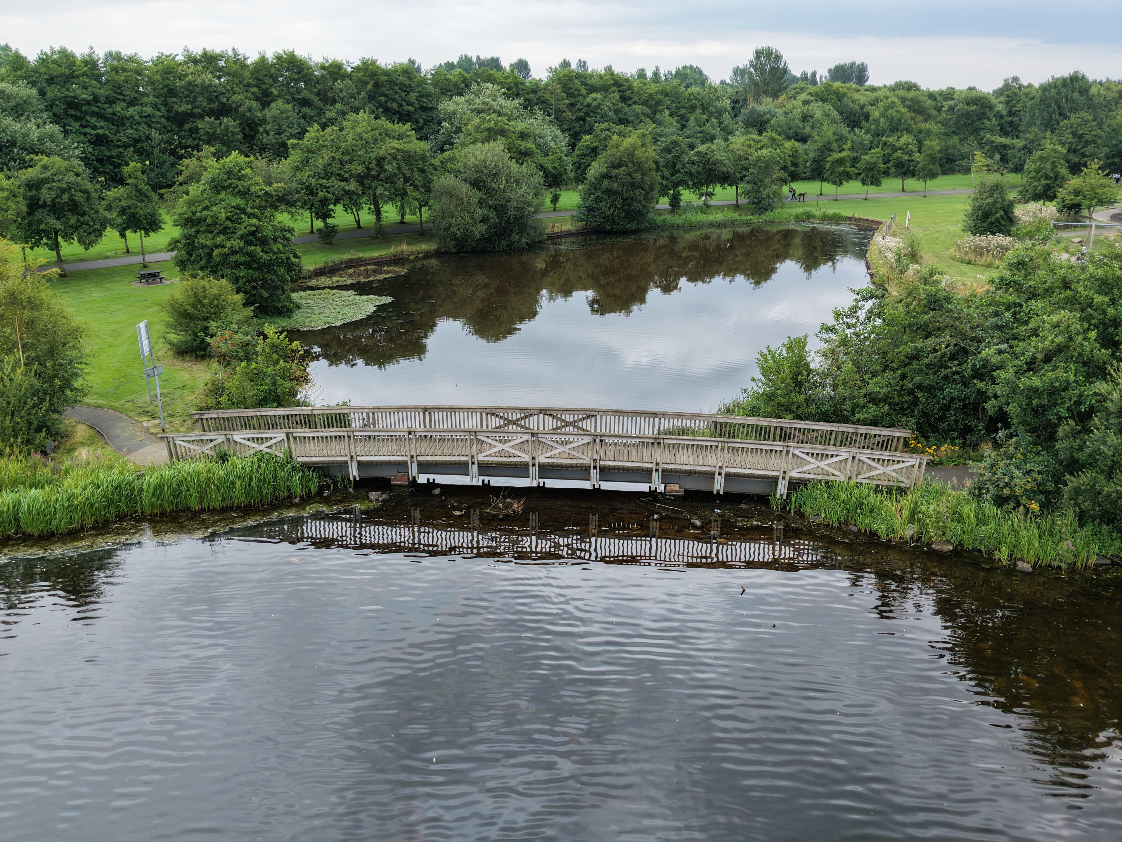
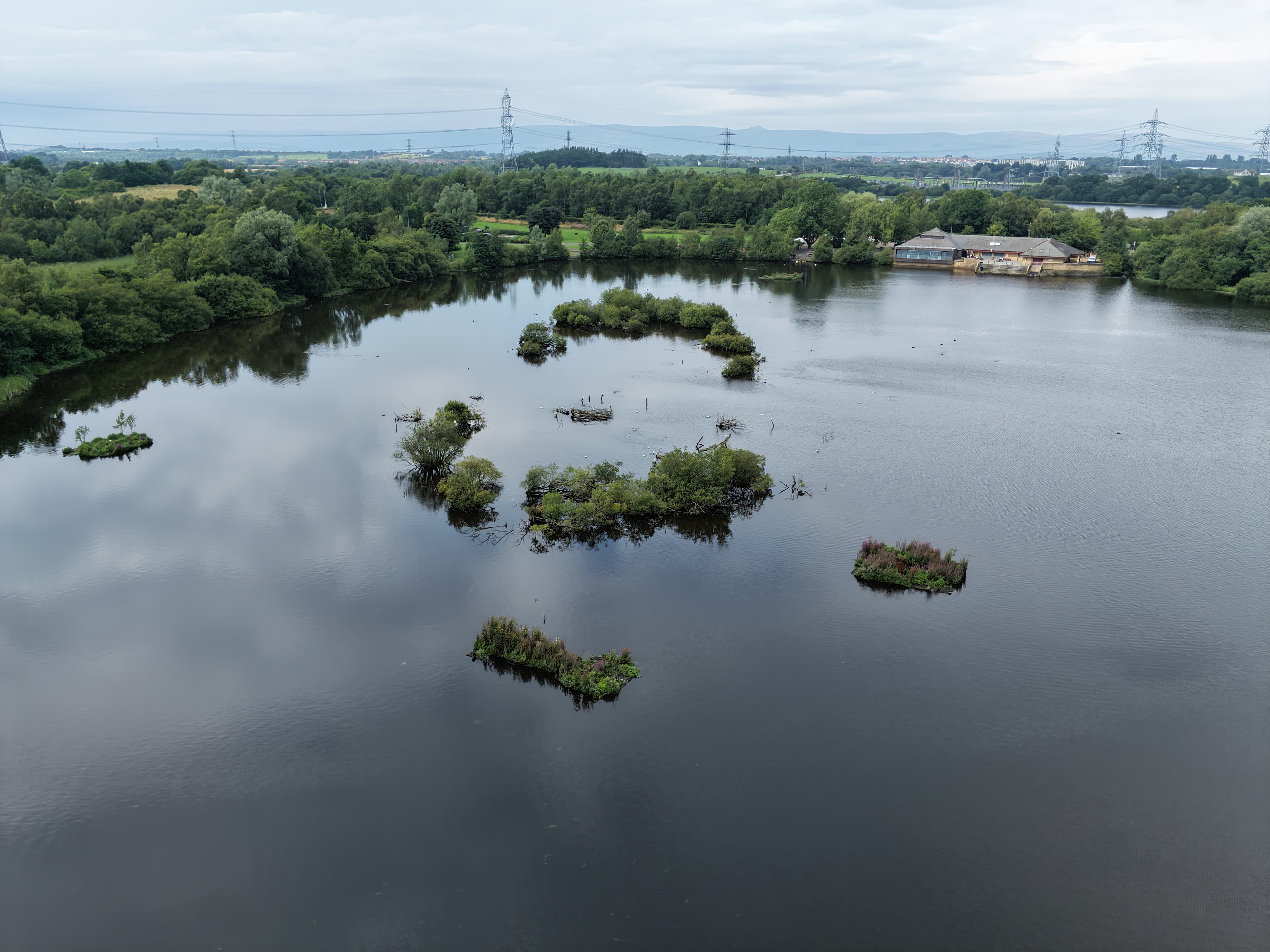
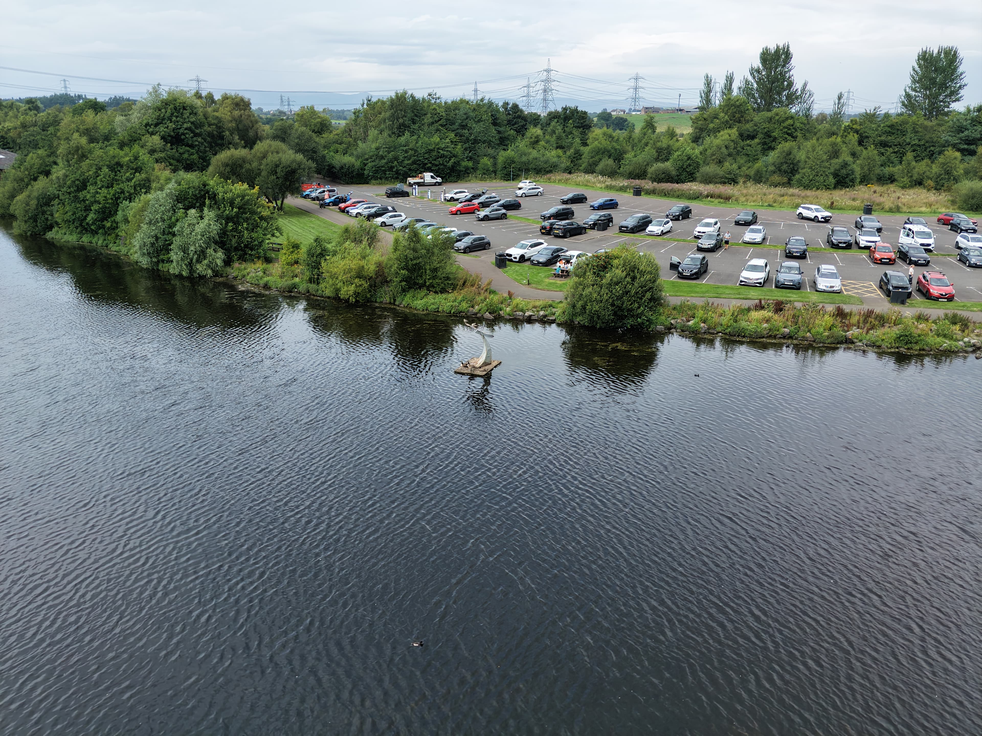
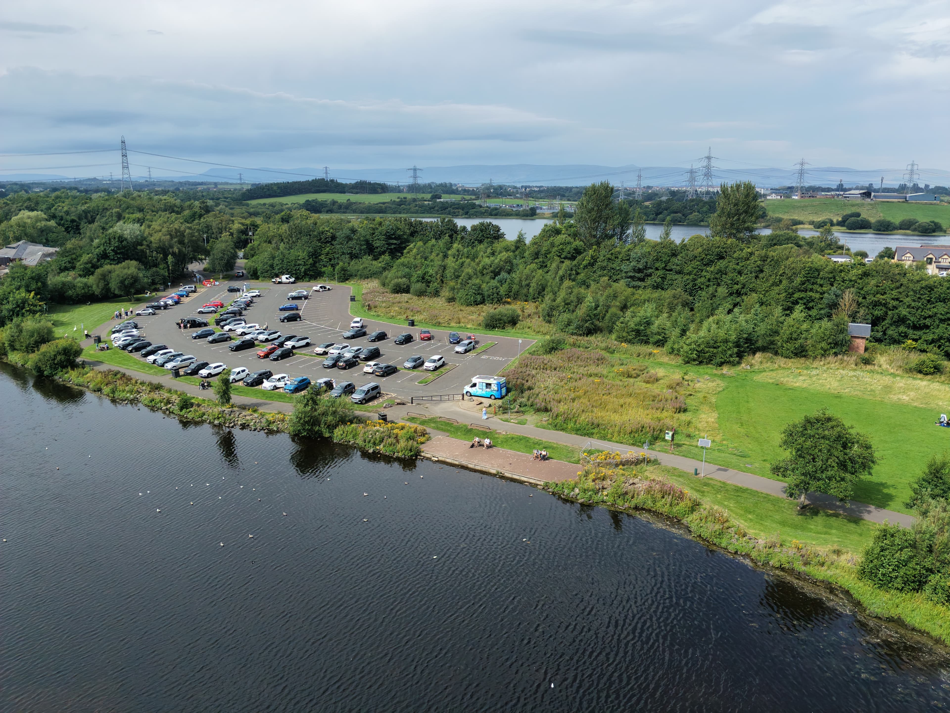
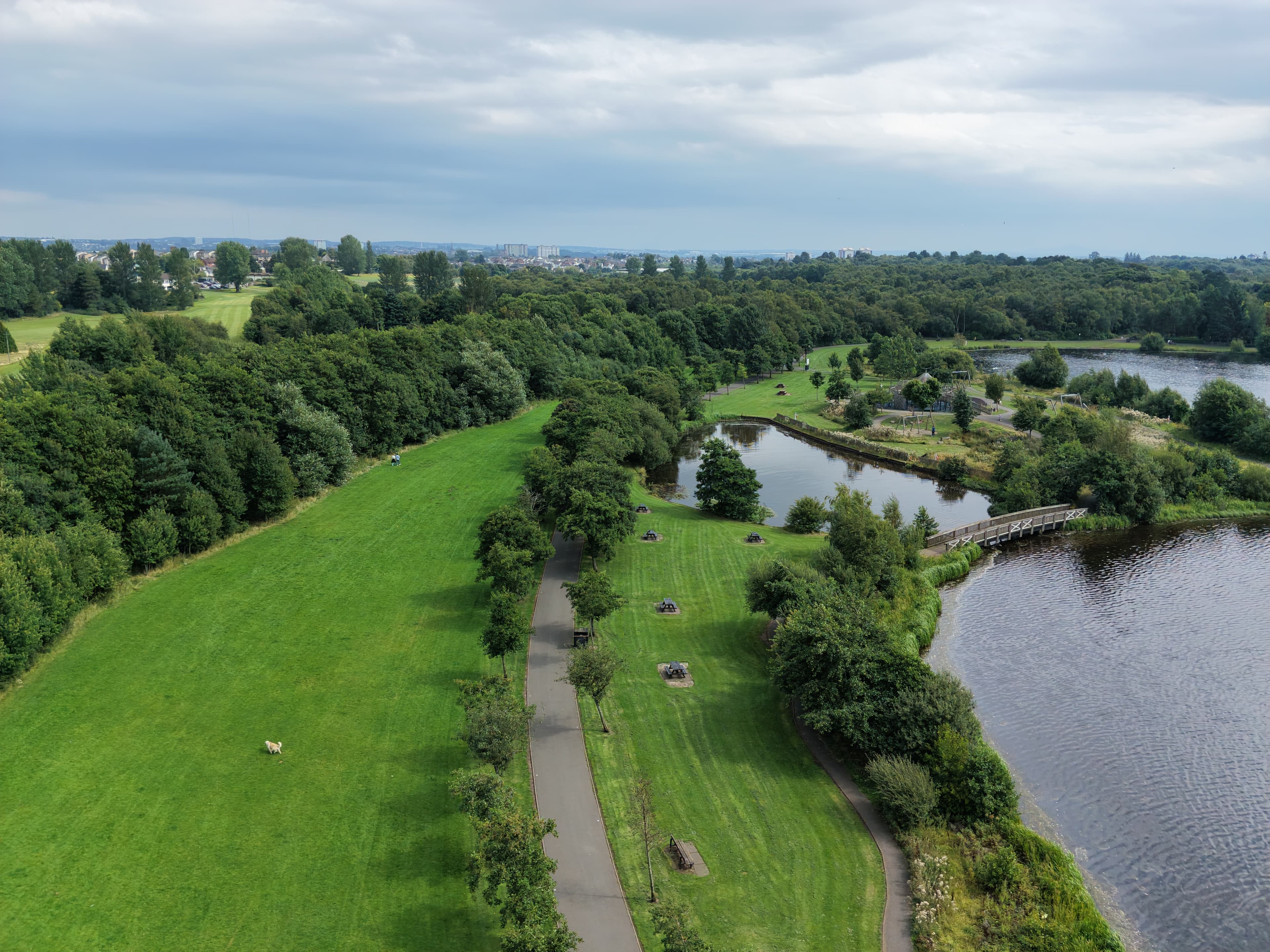
It was a calm but cloudy day at Drumpellier Country Park, making this a relaxed flight rather than anything too ambitious. I spent the time capturing the water, the birds and sections of the walking paths to give a simple sense of what the park is like from above.
The water was the main focus, with the birds adding movement across the scene. Including parts of the paths helped show how the open areas and routes through the park sit alongside the loch.
Drumpellier is a large country park on the edge of Coatbridge, with lochs, woodland, grassland and a network of paths. For this flight, though, the aim was simply to take in a few of those elements on a calm day.
The resulting footage is a quiet look at the park: water, birdlife and the paths that link it together.
Look around
The flight in 360°
An interactive view from this visit. Click to load it, then drag around the scene.
Drumpellier Country Park 360 01
Gallery
Photos from this flight
Location
Roughly where it is
General area
Drumpellier Country Park
55.87314° N · 4.05942° W
The marker shows the general location only, not a take-off point.
Open in Google Maps