
A place I flew
Cuningar Loop
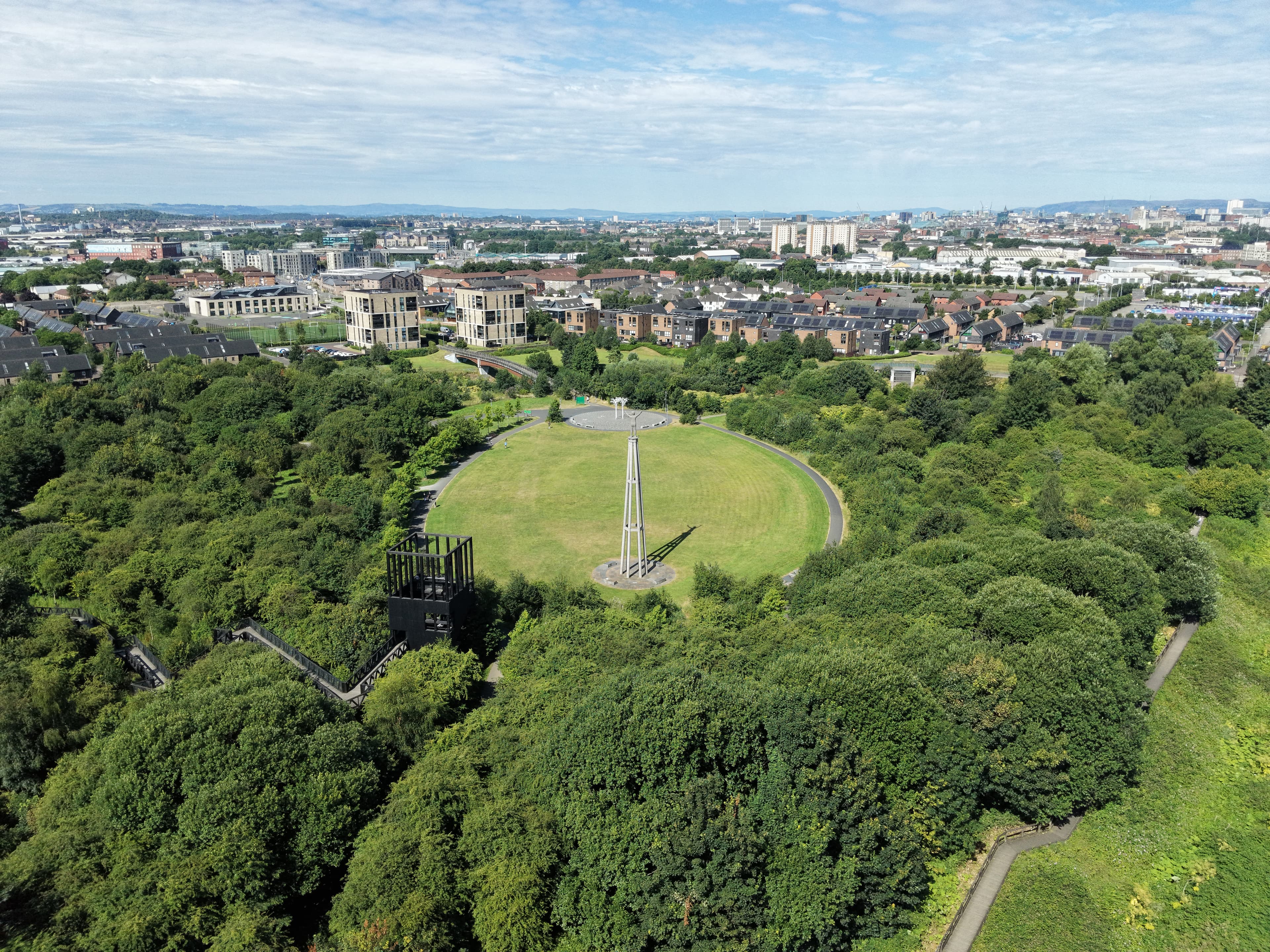
Cuningar Loop is a riverside woodland park on a broad meander of the River Clyde, between Rutherglen and Dalmarnock. Formerly neglected industrial land, it has been reshaped into a mix of young woodland, meadow, paths, public art and open space.
- Latitude
- 55.83982° N
- Longitude
- 4.20081° W
About the location
The place itself
Cuningar Loop is a woodland park occupying a pronounced bend in the River Clyde, on the edge of Rutherglen and directly east of Dalmarnock in Glasgow. Although surrounded by dense urban development, the curve of the river gives the place a distinct shape and a little separation from the streets and buildings beyond.
The present park is the result of a long regeneration project. This stretch of land had industrial uses in the nineteenth and twentieth centuries, including waterworks associated with Glasgow’s early public water supply. Reservoirs here lifted water from the Clyde before it was pumped onwards for distribution. Later uses, neglect and infilling left much of the loop as rough vacant ground for many years.
From industrial ground to woodland park
Cuningar Loop Woodland Park opened to the public in 2015, developed through partnership work involving Forestry and Land Scotland, Clyde Gateway and local authorities. It formed part of the wider legacy of the 2014 Commonwealth Games, whose Athletes’ Village was built on the opposite bank of the Clyde.
The site is not an old natural wood in the usual sense. Its character comes from planted young woodland, open grassland and meadow, scrubby edges and the river corridor. That combination is useful in an urban setting: the open areas give the park a spacious feel, while the trees and riverside vegetation soften the surrounding infrastructure and provide cover and connections for everyday urban wildlife.
Landscape and landmarks
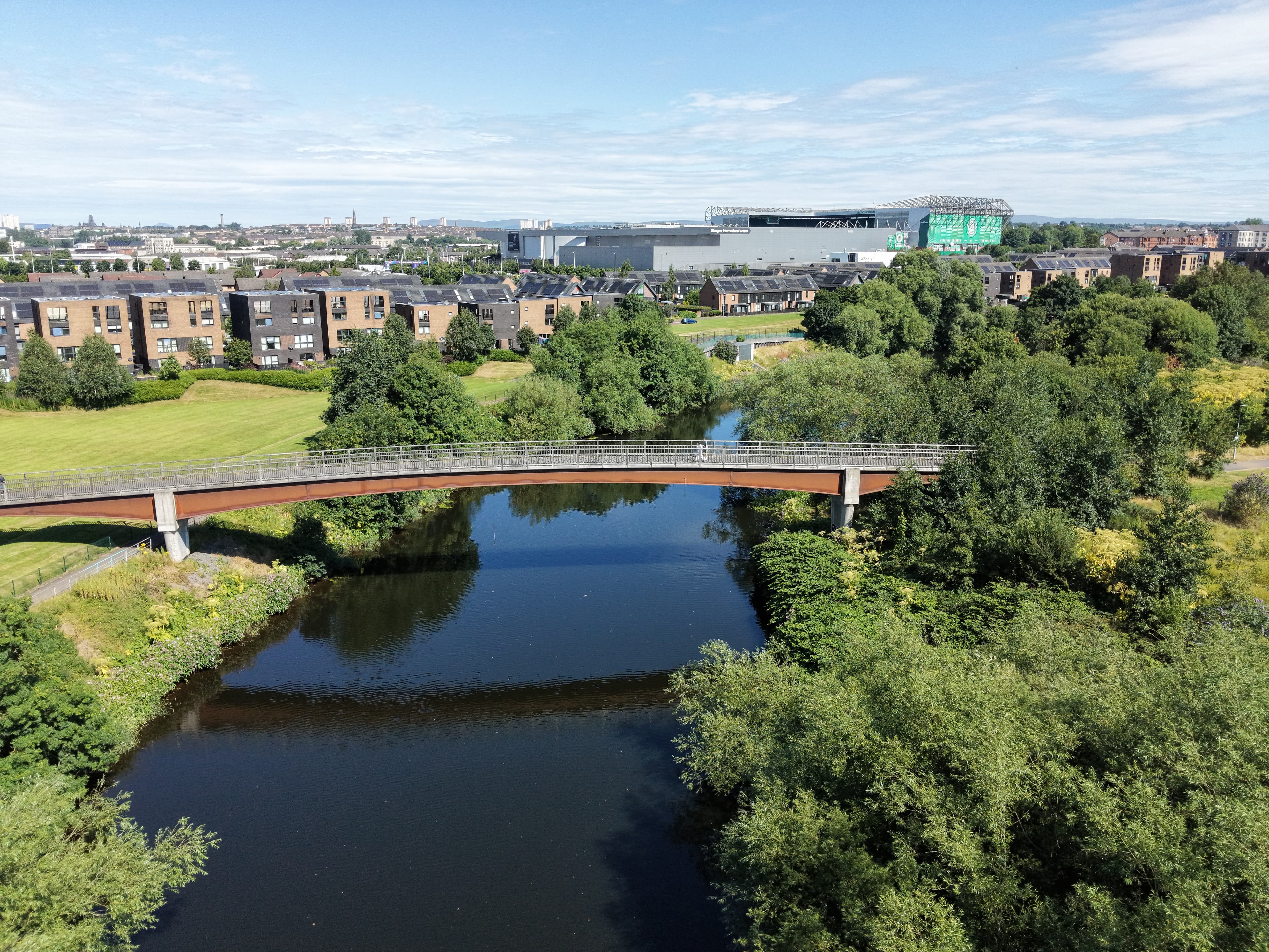
Paths run through the woodland and alongside the river, with a boardwalk section close to the Clyde. A footbridge links the loop with Dalmarnock and the north bank, making the park part of a wider network of walking and cycling routes beside the river. National Cycle Route 75 follows the Clyde Walkway nearby.
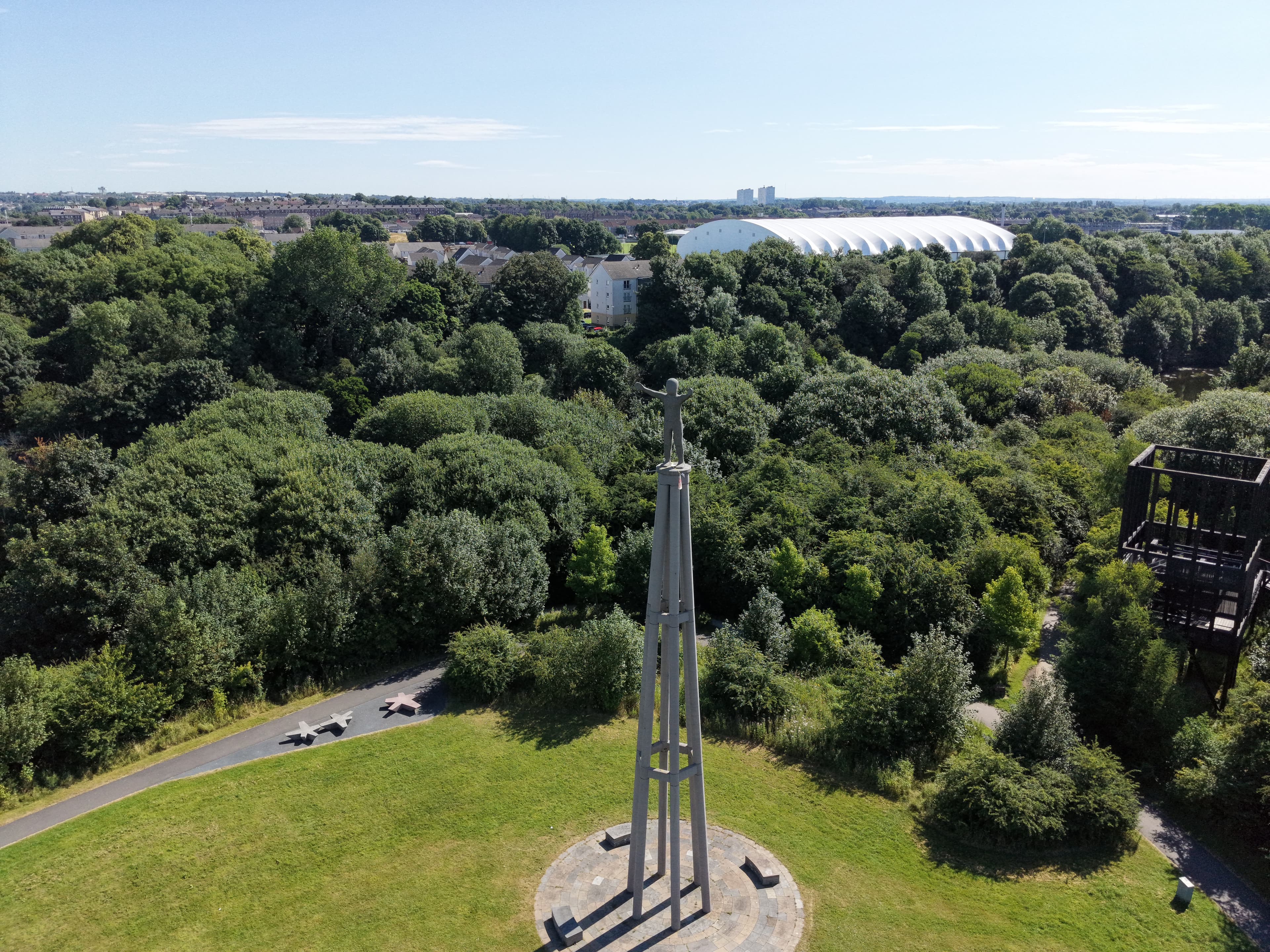
Several features make the park easy to recognise from the ground. These include the outdoor bouldering area, bike skills area, play spaces and broad meadow. Later improvements added more paths, grassland and trees, along with The Bothy community building and the accessible Tur viewing platform. The 23-metre Hope sculpture, installed in 2021, is another prominent marker within the park.
A changing Clyde-side place
Cuningar Loop is best understood as a working example of urban land being given a new role rather than returned to an imagined earlier landscape. Its young trees will continue to alter the feel of the place as they mature, while the river remains the constant feature: curving around the park, carrying the wider history of industry, regeneration and movement through Glasgow’s east end and Rutherglen.
Summer · 19 July 2026
Hope Above the Clyde
A relaxed sunny summer-morning flight at Cuningar Loop, orbiting the Hope Sculpture and taking in the curve of the River Clyde around it.
Notes from this flight
19 July 2026
On a sunny summer morning, I headed out for a relaxed flight at Cuningar Loop.
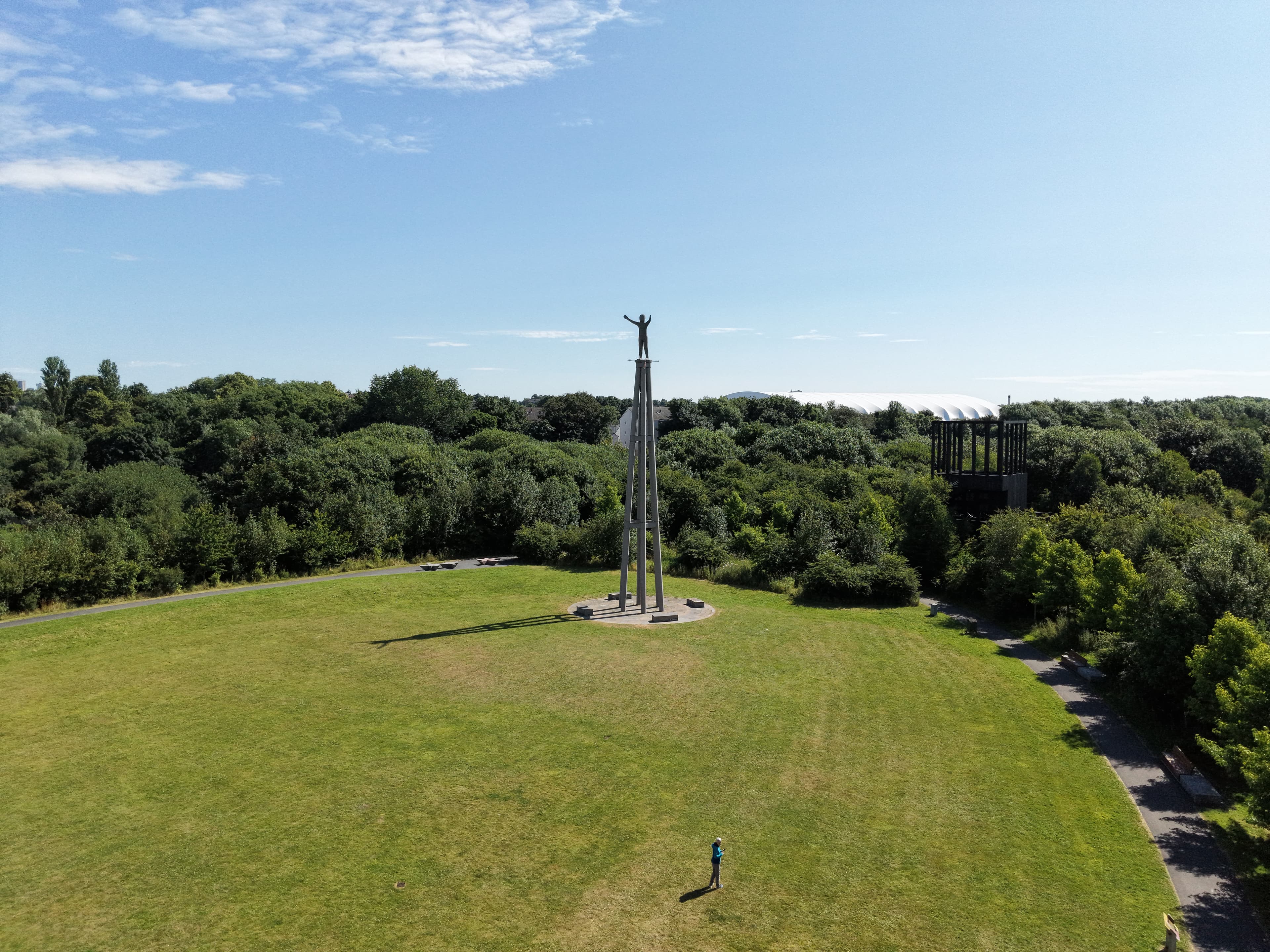
The main focus was an orbit around the Hope Sculpture, with the River Clyde curving around the park below. It was a simple flight, but the sculpture and the river made a good pairing from above.
I spent the session capturing the relationship between the tall structure and the loop of the Clyde around it. With the summer sun out, it was an easy one to take at a steady pace.
Flight notes
Sunny summer morning
Orbit around the Hope Sculpture
Views of the River Clyde around Cuningar Loop
A relaxing flight
The Hope Sculpture is a tall public artwork at Cuningar Loop, created as a COP26 legacy project. It gives this bend of the Clyde a clear focal point, especially when viewed from above.
Nothing complicated for this outing: just a calm orbit, the sculpture, and the river doing its thing around the edge of the park.
Gallery
Photos from this flight
Location
Roughly where it is
General area
Cuningar Loop
55.83982° N · 4.20081° W
The marker shows the general location only, not a take-off point.
Open in Google Maps